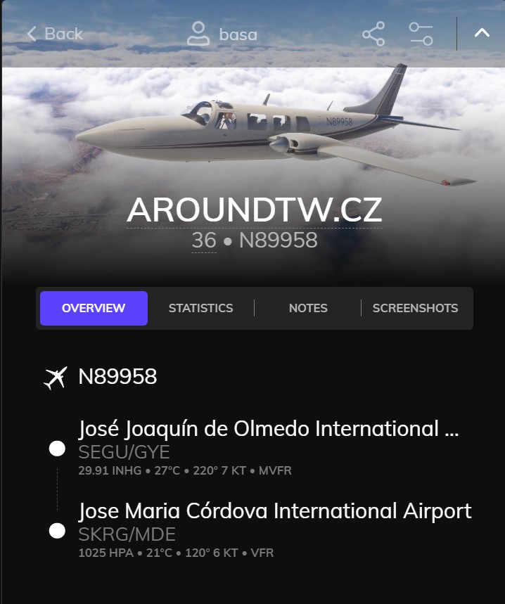
Guayaquil – Medellín
🌊 Guayaquil – Tropical Gateway of Ecuador
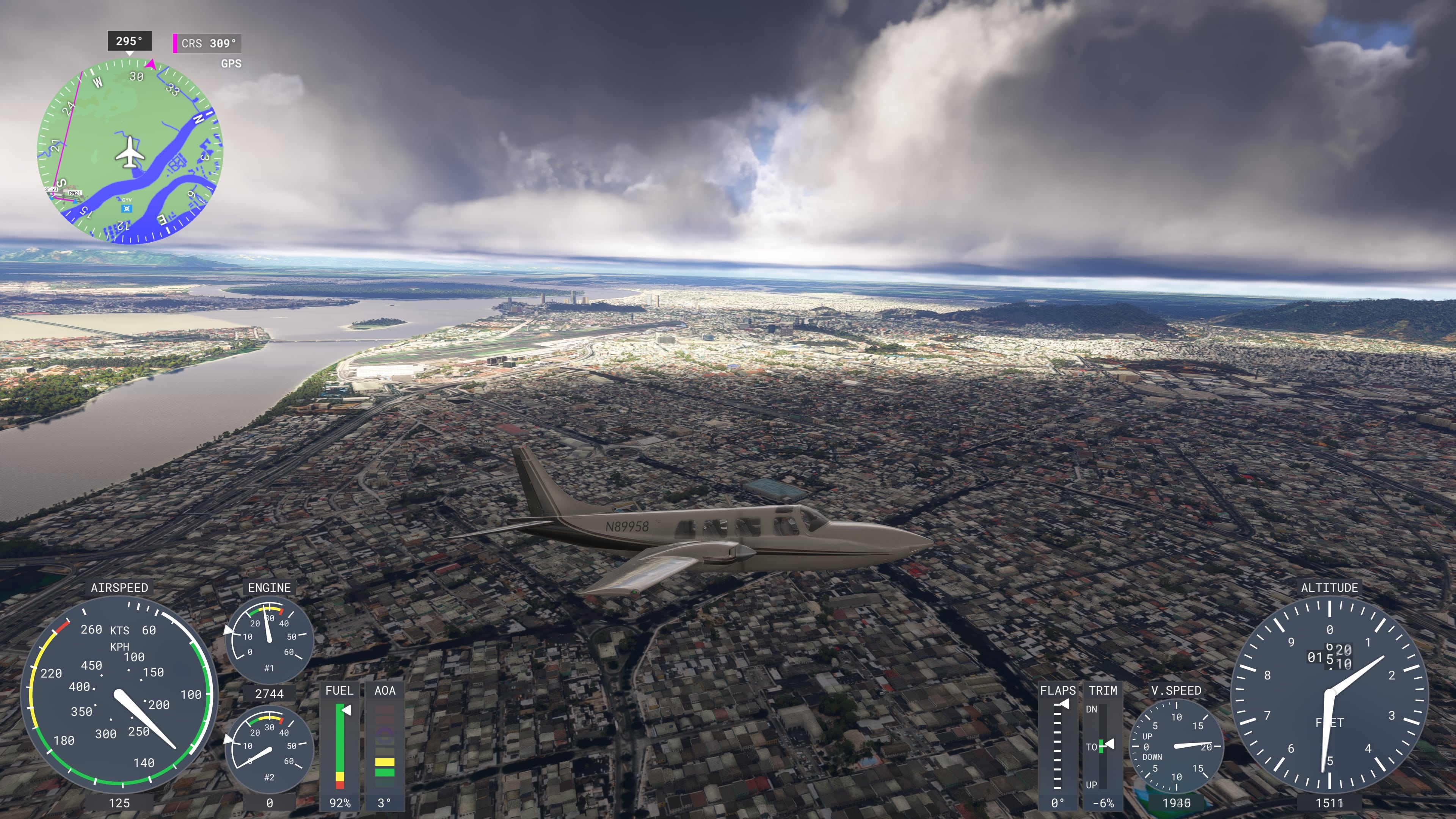
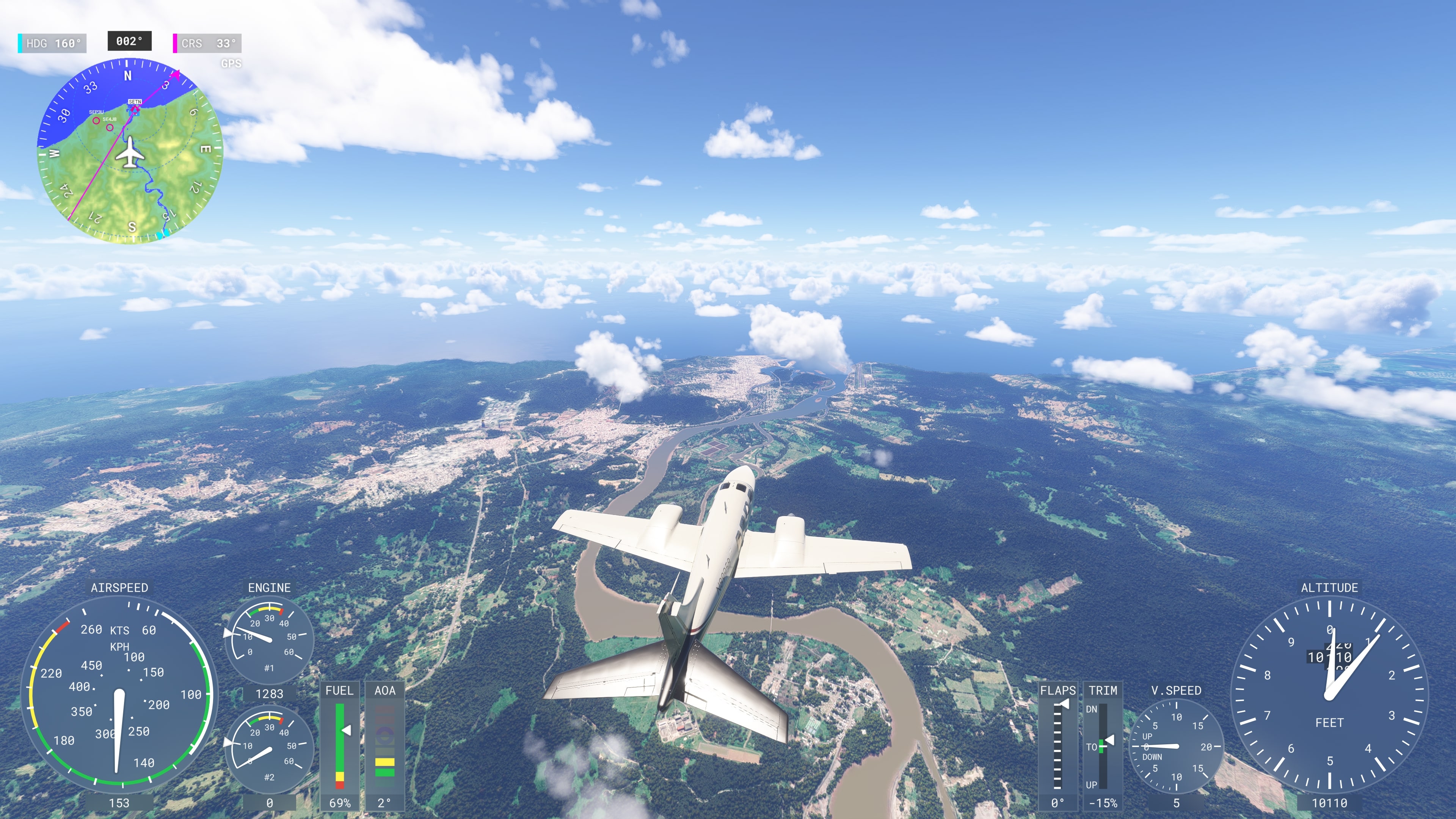
- The largest city in Ecuador and an important port on the Guayas River
- José Joaquín de Olmedo Airport is one of the most modern in Latin America
- After takeoff, views open up over delta landscapes and vast banana plantations typical of the Guayas region
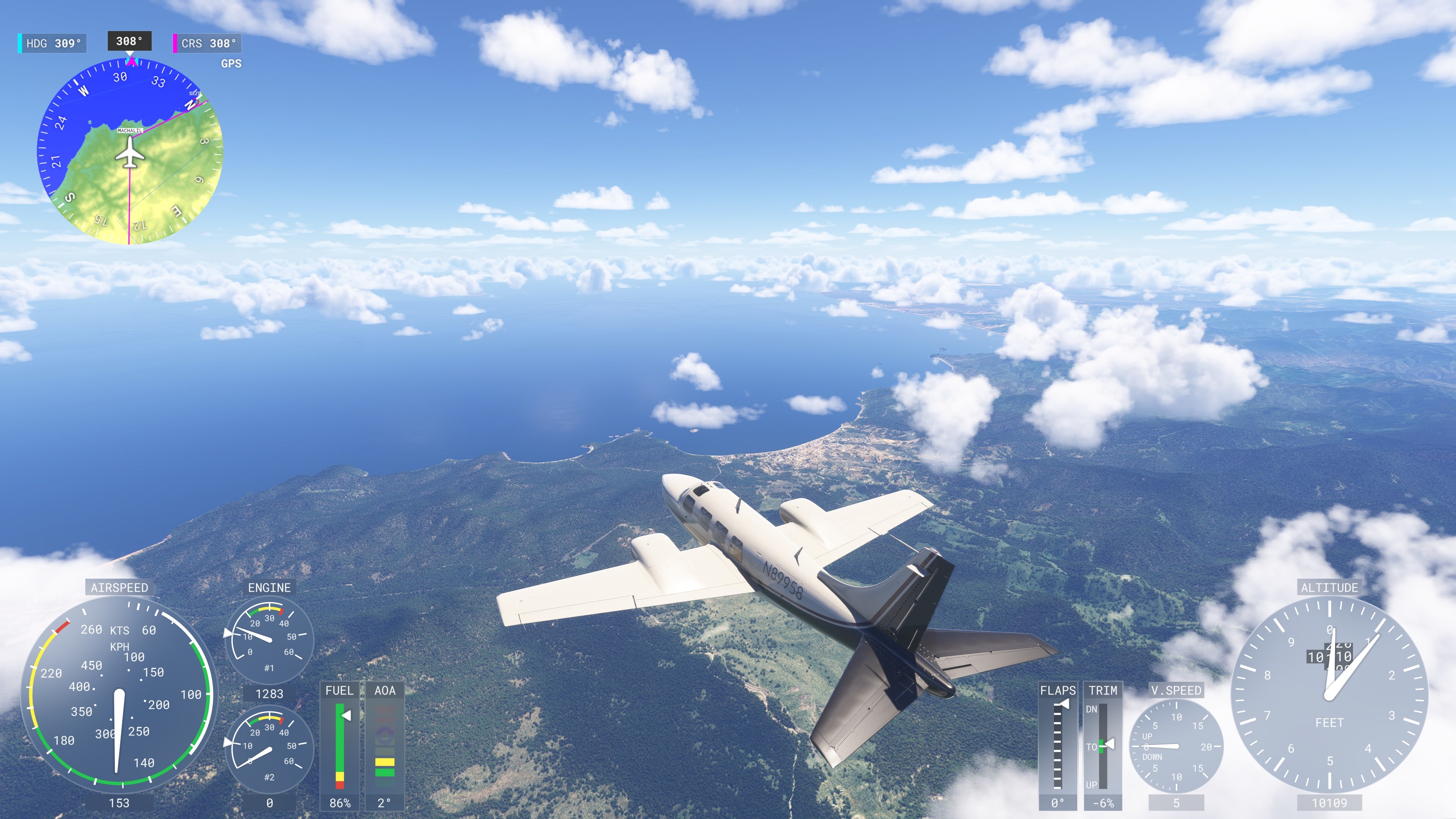
🏖️ Machalilla Coast – Wilderness on the Shores of the Pacific Ocean
- Flying along the central coast of Ecuador offers a unique perspective on the protected area of Machalilla National Park – a region where dry tropical forest, rugged cliffs, and calm bays meet
- This is one of the few dry tropical forests in South America
- The area also has archaeological significance – once inhabited by the Valdivia culture, one of the oldest known civilizations on the west coast of the Americas
- In the sea lies Isla de la Plata – an island reminiscent of the Galápagos, home to blue-footed boobies, frigatebirds, and other iconic species
- Between June and September, it’s possible to spot humpback whales from the aircraft as they migrate along the coast, often appearing as swirls on the surface or spouts of water
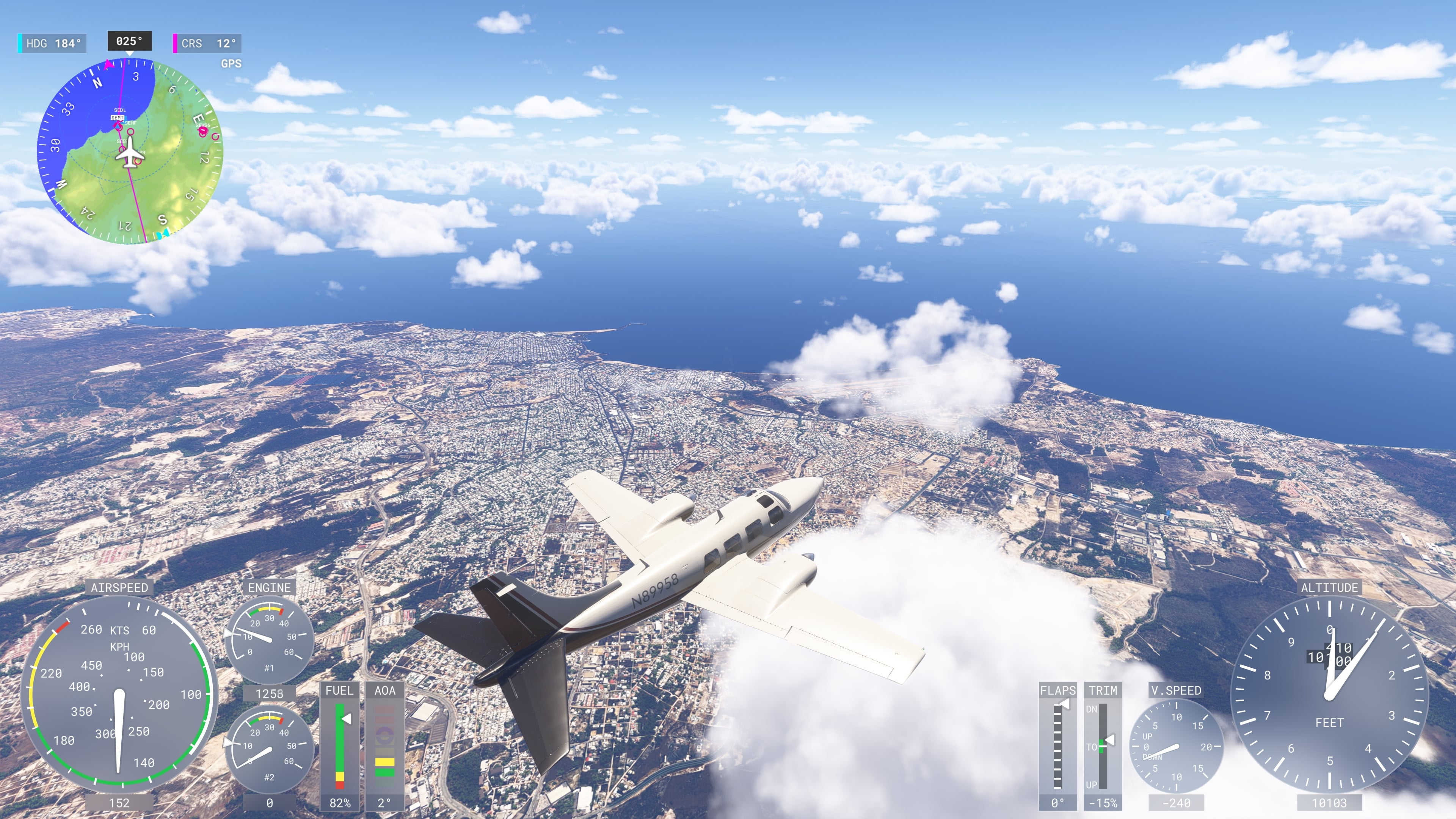
🚢 Manta – Coastal Heart of Central Ecuador
- Manta is one of Ecuador’s largest ports and a key center for fishing and maritime trade
- The city lies on the open Pacific coast with vast beaches and dense urban development contrasting against the surrounding dry landscape
- Tuna fishing leaves a strong economic footprint here – Manta is one of the world’s most important tuna processing centers
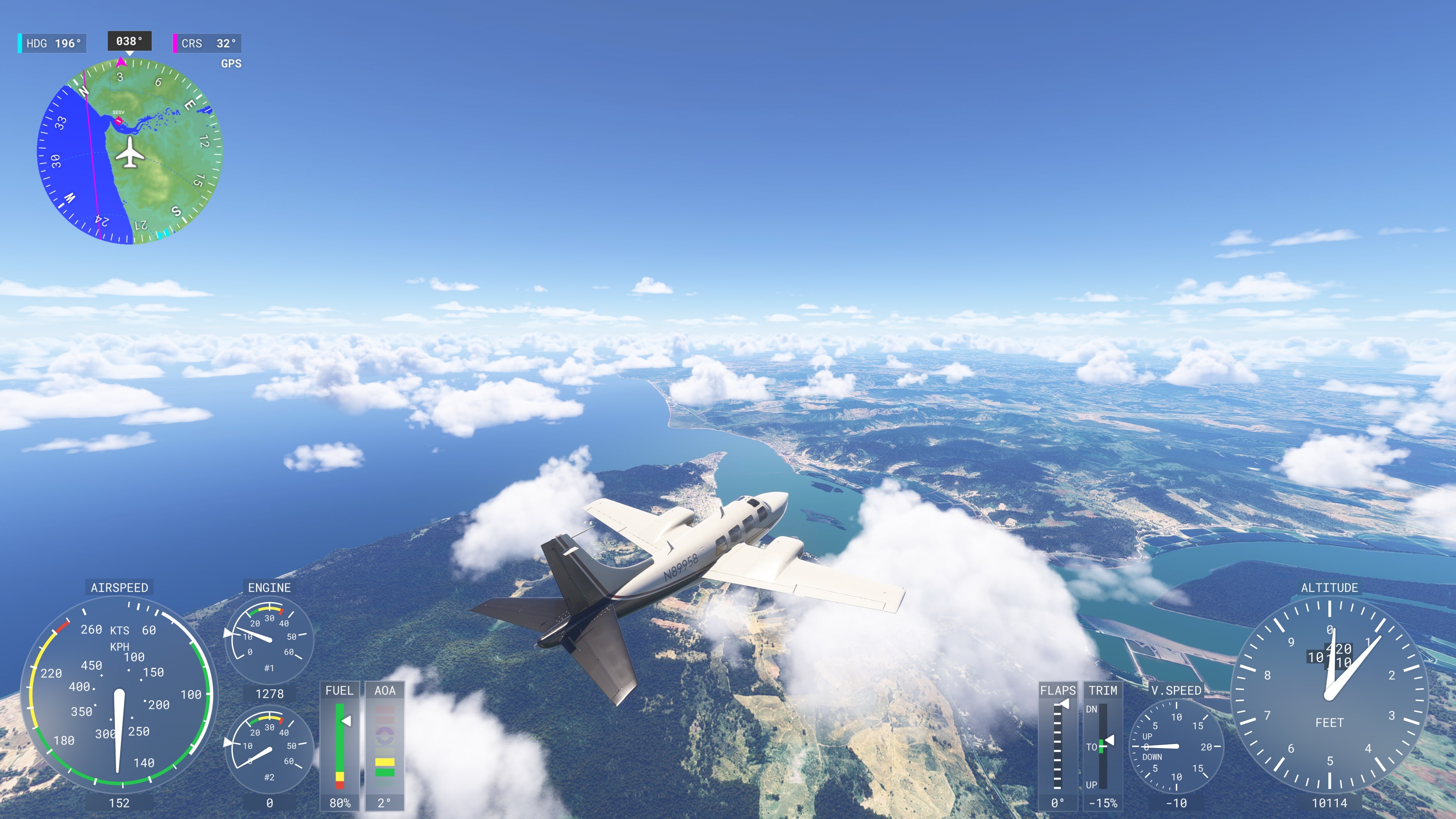
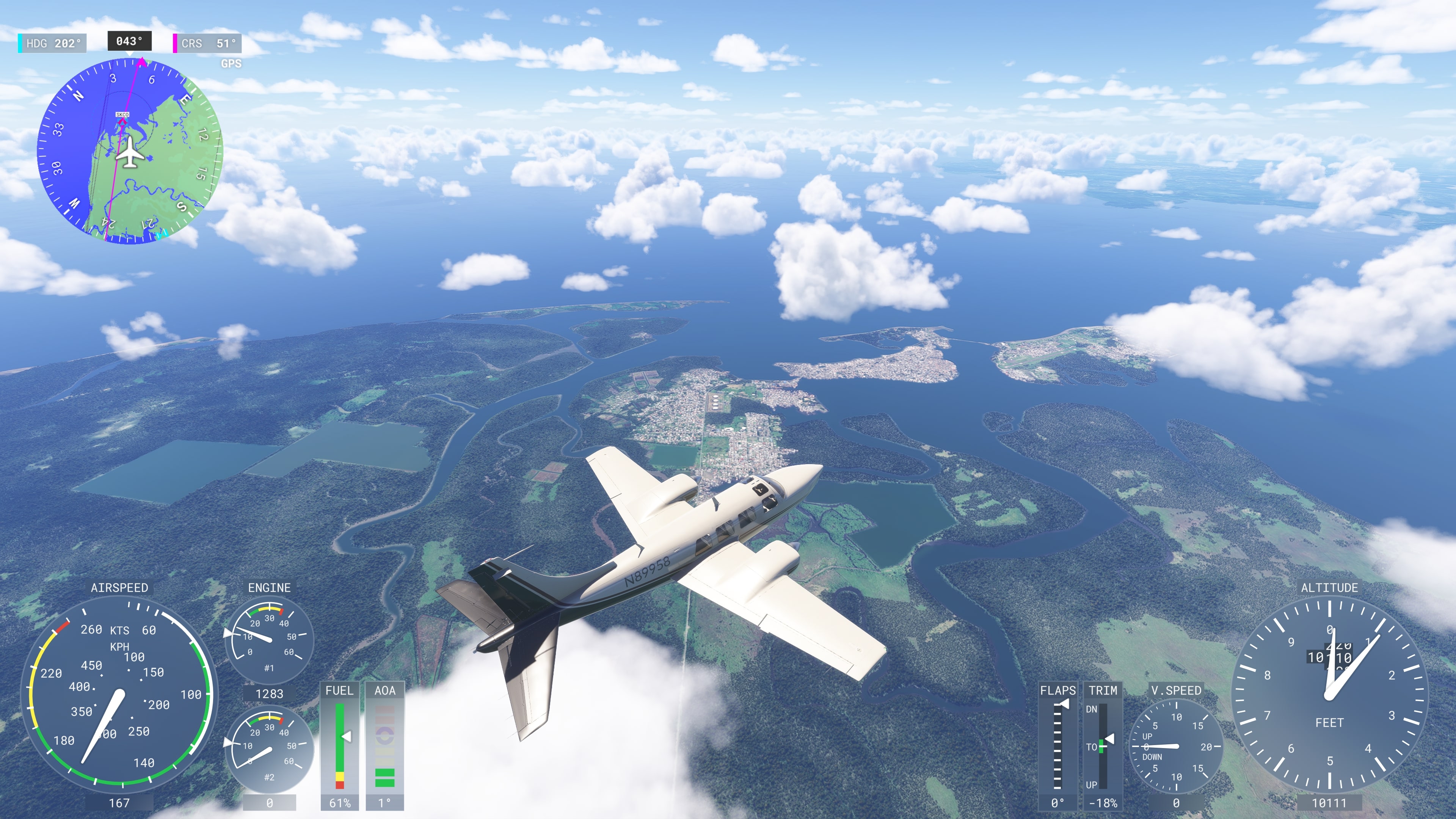
🏝️ Esmeraldas and Tumaco Coast
- The flight route followed the Pacific coast of northern Ecuador and southwestern Colombia – a region rich in culture, nature, and contrasts
- Esmeraldas is one of the centers of Afro-Ecuadorian identity – known for marimba music, traditional dances, and coastal cuisine based on coconut and seafood
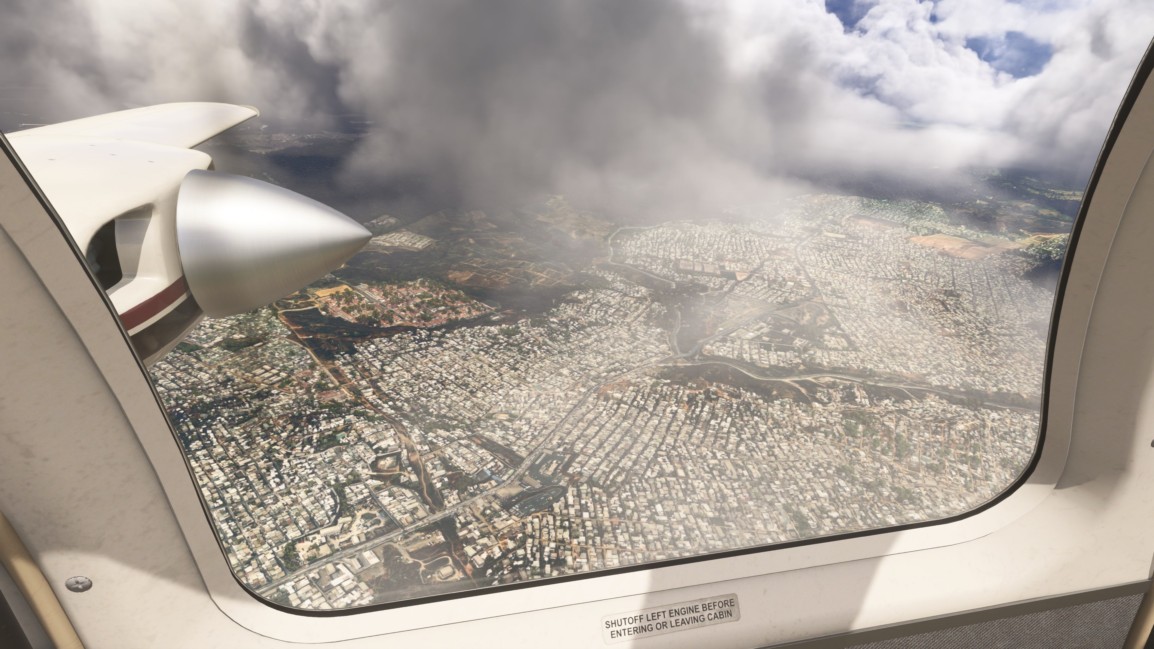
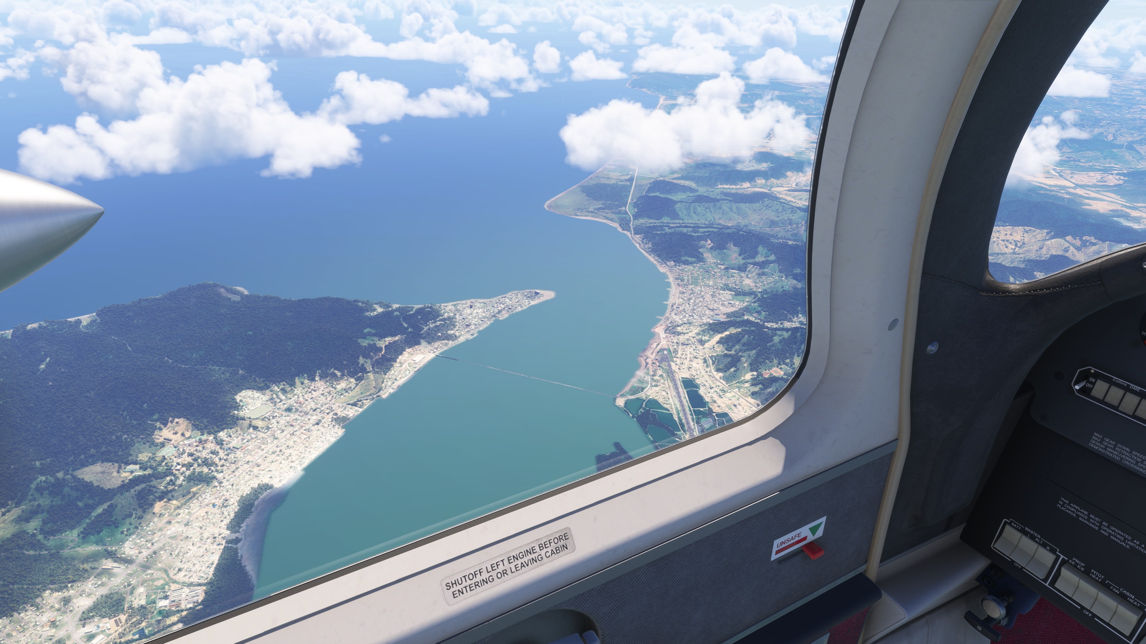
- From above, you can see sandy beaches, tropical forests, and scattered villages lining the Pacific coast
- Crossing into Colombia, the terrain changes – extensive mangrove forests, islands, and winding waterways appear
- Tumaco, nicknamed The Pearl of the Pacific, lies on an archipelago with distinctive wooden stilt houses, viewed from above as a mosaic of human settlement closely tied to nature
- The area is ecologically unique – serving as a nesting site for sea turtles, a migratory corridor for birds, and a refuge for endangered dolphins and fish
- This part of the flight offered a rare view of a sparsely urbanized yet rich coastal zone that remains hidden from regular tourist routes
🎵 Cali – Heart of Salsa
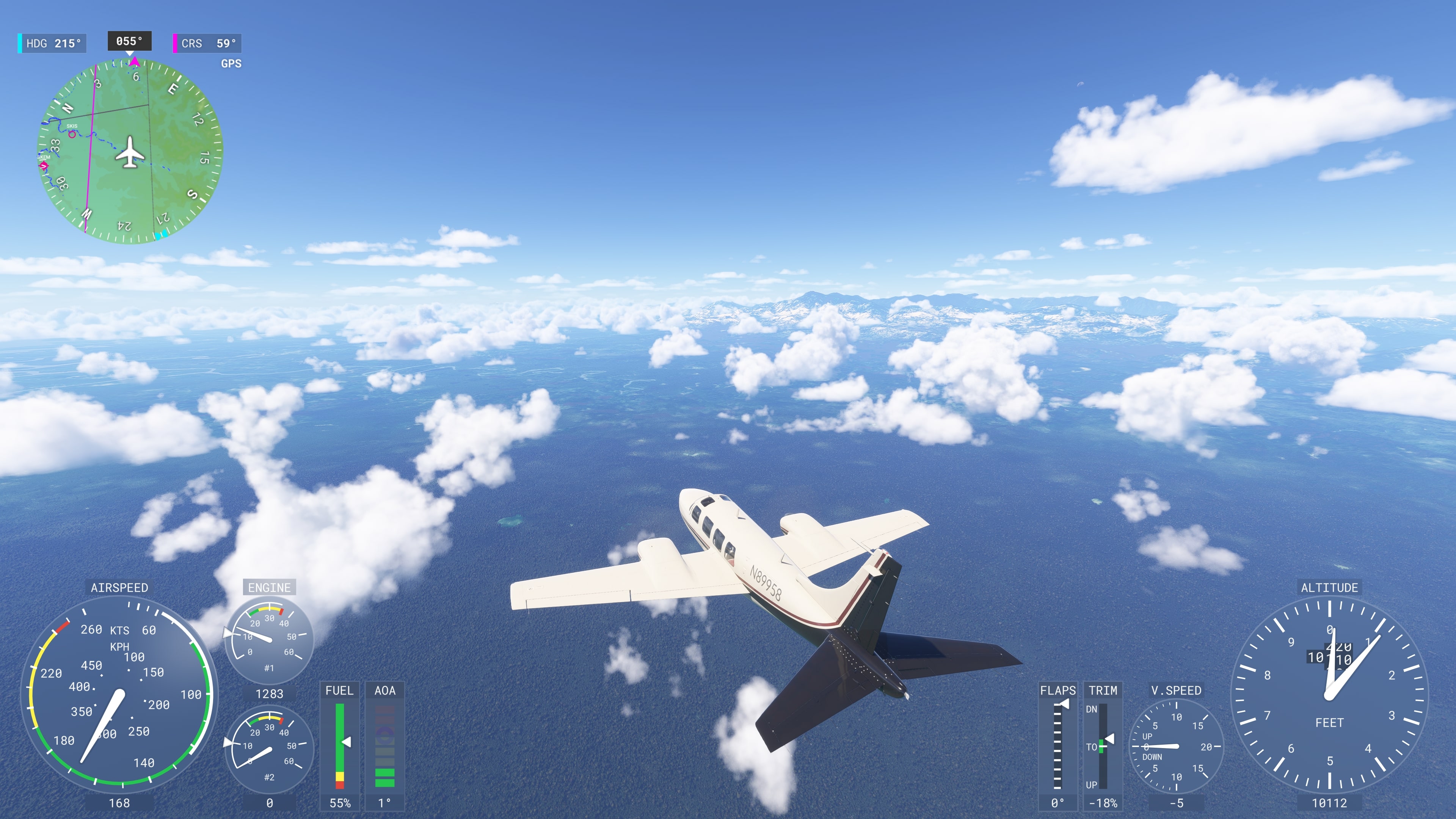
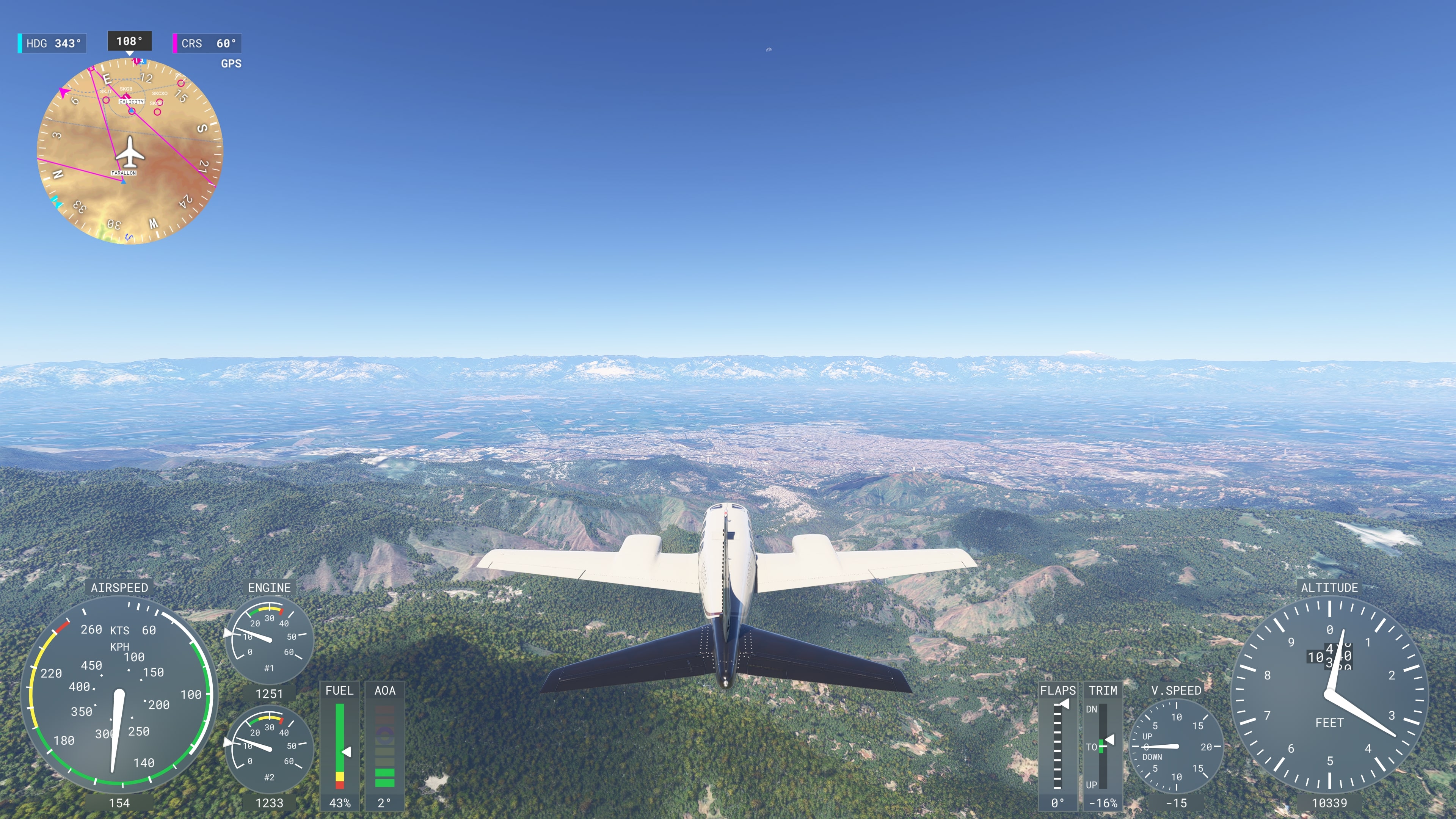
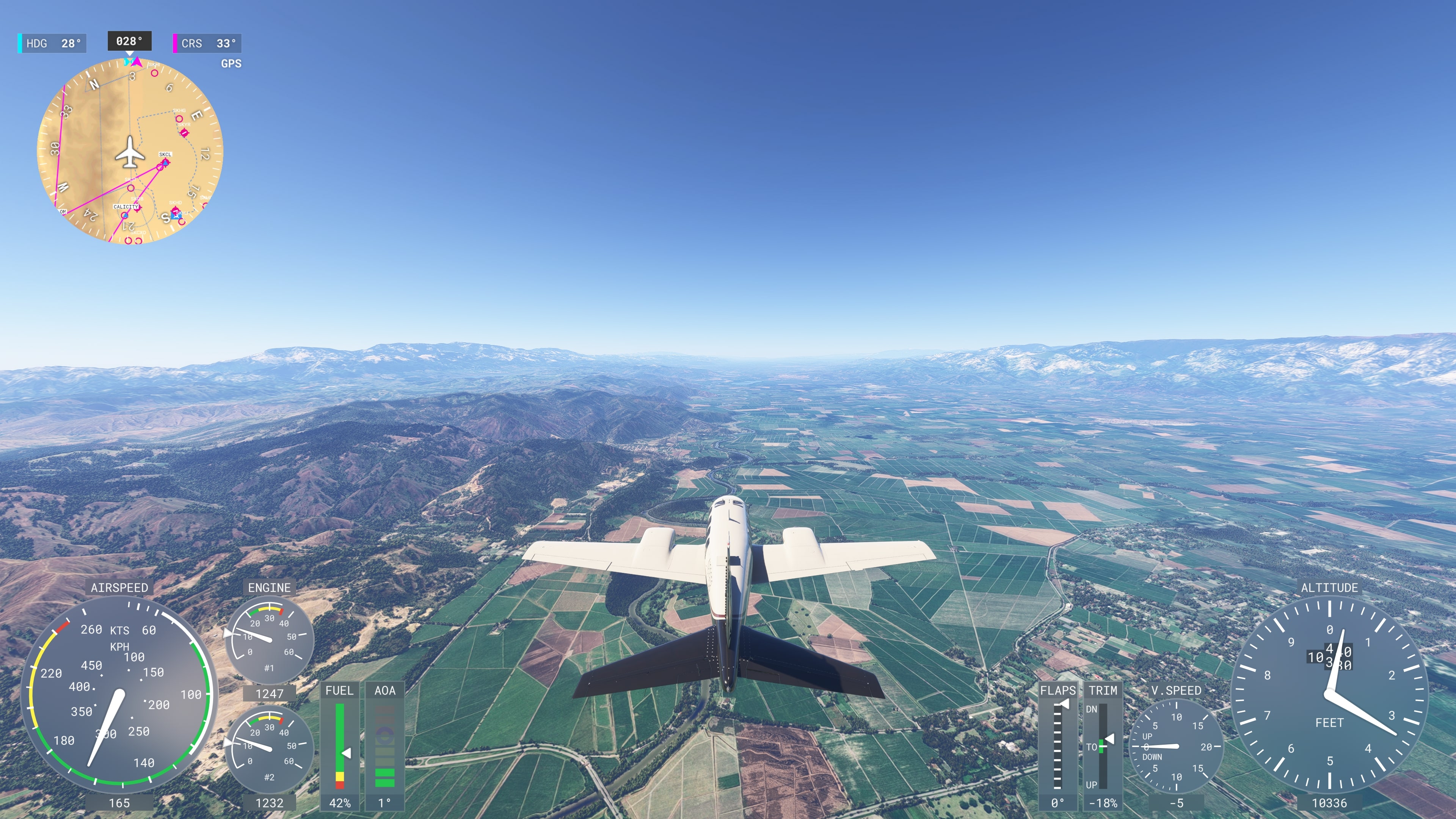
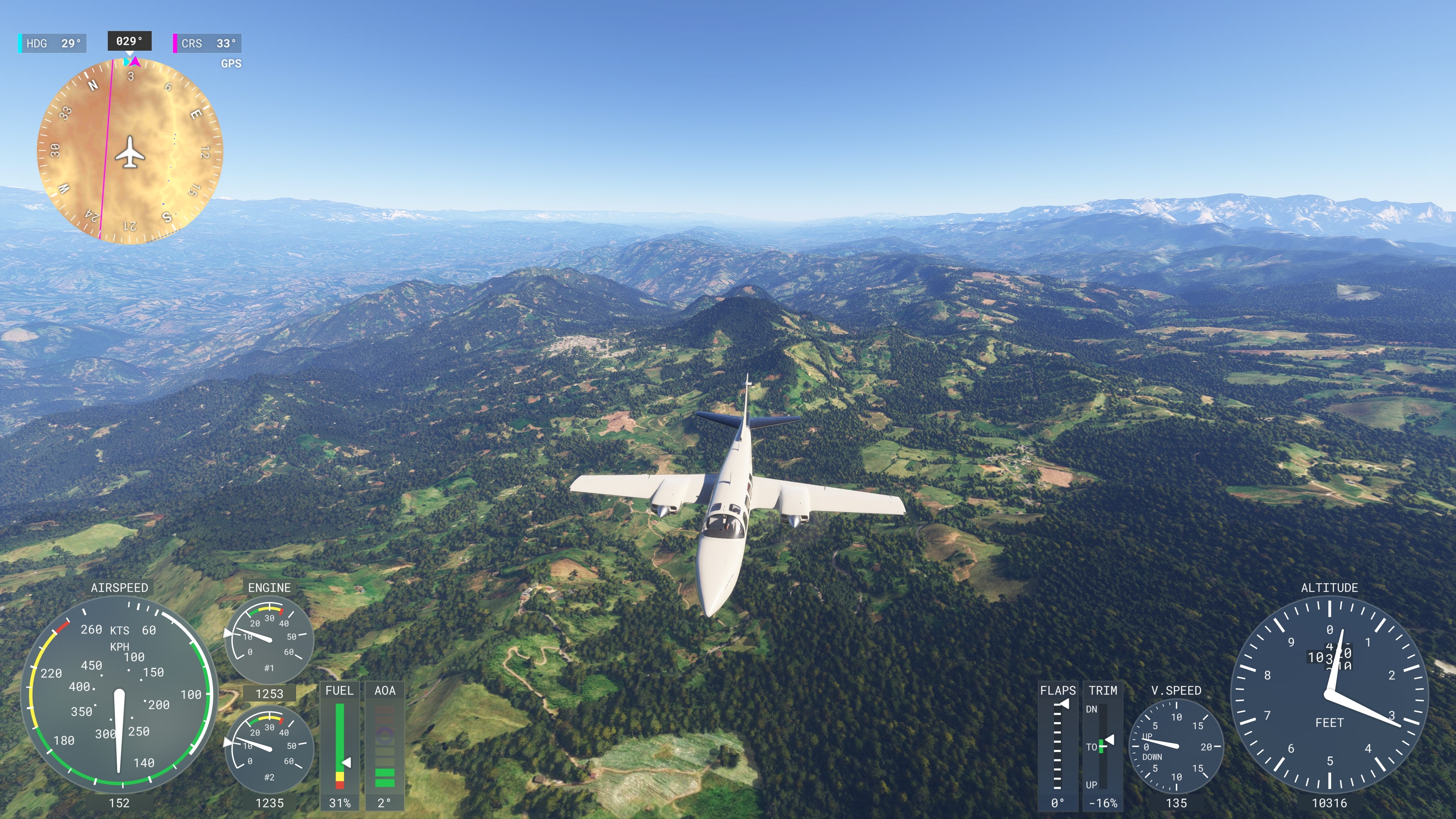
- About halfway through the flight, the approach to the Andes mountain range begins
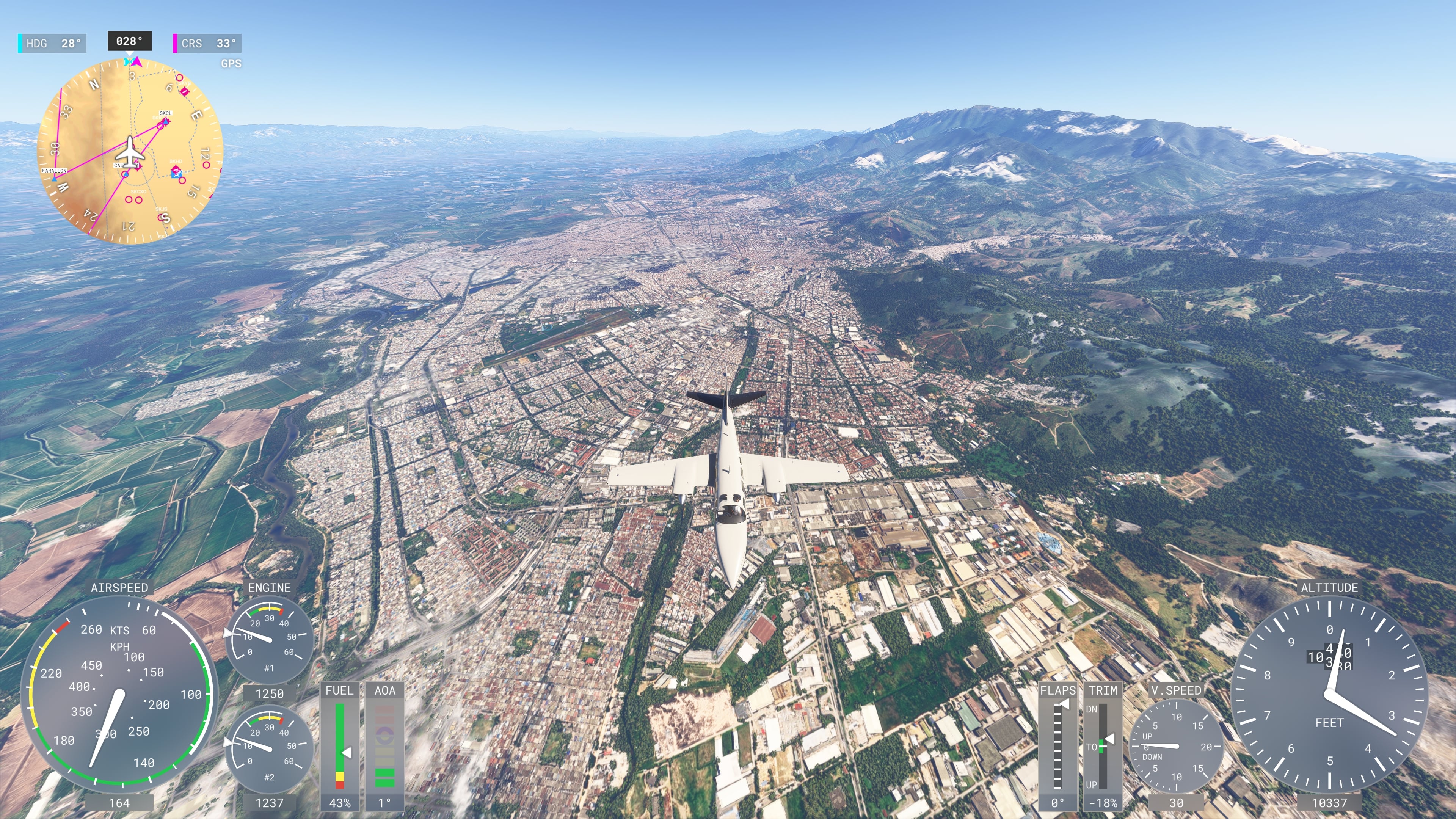
- Over the city of Cali (officially Santiago de Cali), a wide Cauca River valley is visible from above, surrounded by green Andean slopes – one of the most densely populated areas of Colombia
- The city is considered the world capital of salsa – home to hundreds of dance schools, music clubs, and the annual Feria de Cali, the largest salsa festival in the world
- Cali has a strong Afro-Colombian community, reflected in its rhythms, cuisine, and culture
🌄 Medellín – City of Eternal Spring
- The approach to Medellín passes through mountainous terrain – the city lies in a narrow Aburrá River valley, surrounded by Andean slopes at an elevation of over 1,500 m
- Thanks to its location and year‑round mild climate, Medellín is nicknamed “La Ciudad de la Eterna Primavera” – The City of Eternal Spring
- In the past, Medellín was known mainly for cartel activity, but today it’s seen as a model of urban transformation and innovation – including the Metrocable gondola system connecting hillside neighborhoods with the city center
- From the air, you can see the city’s characteristic structure – a contrast between modern buildings and densely populated hillsides (comunas)
- Landmarks include Nutibara Hill with a replica of a traditional village (Pueblito Paisa) and architectural icons such as Plaza Botero with monumental sculptures by Fernando Botero
- Landing takes place at José María Córdova Airport, located at 2,141 m in the nearby city of Rionegro – the approach is relatively steep due to mountainous terrain
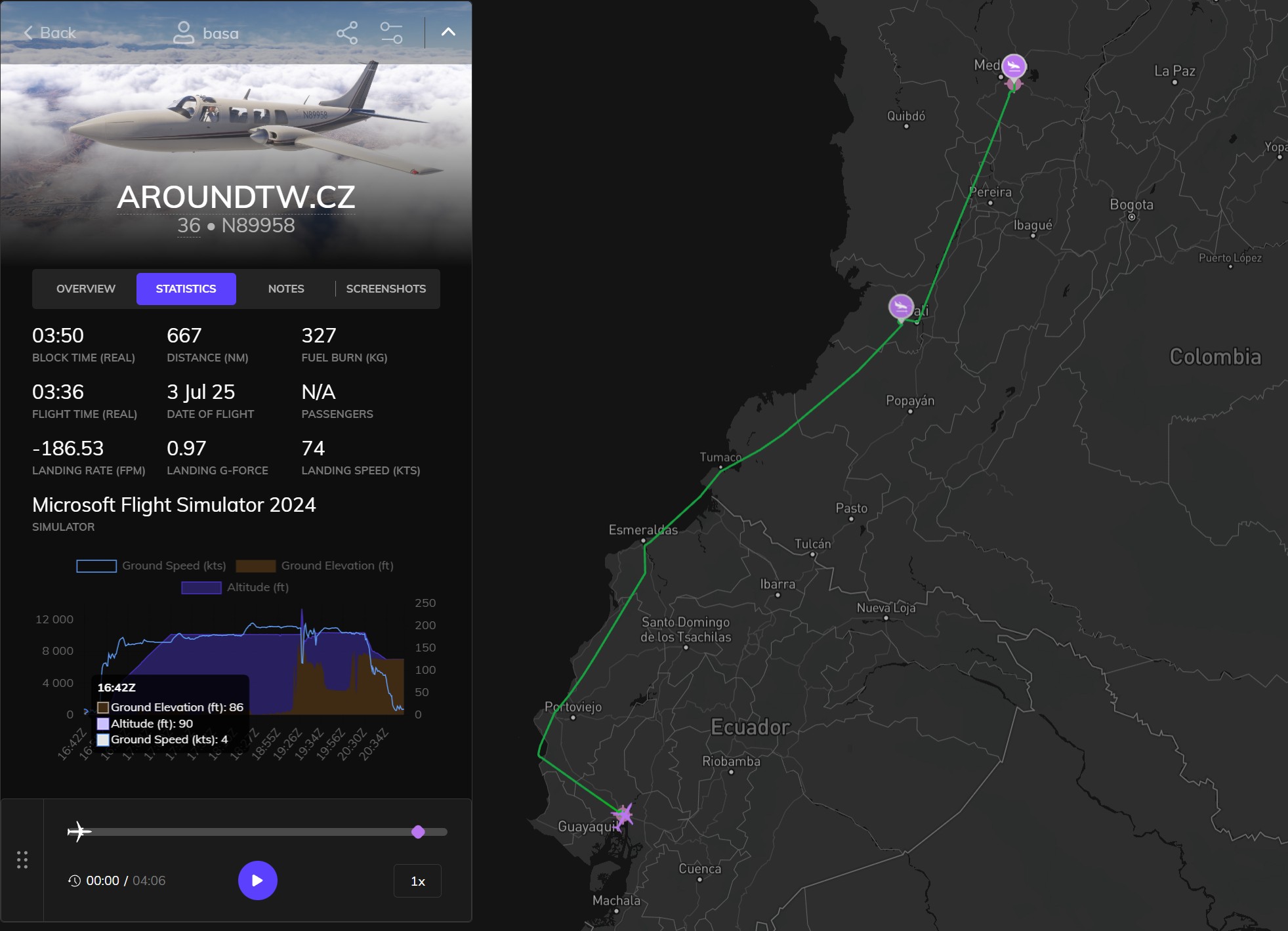
- Distance: 1,235 km
- Total distance: 29,865 km
- Flight time: 3 hours 36 minutes
- Total flight time: 102 hours 45 minutes