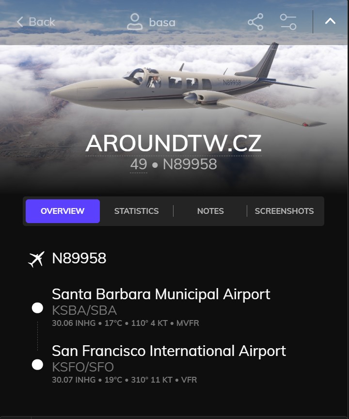
Santa Barbara – San Francisco
🌎 State on the route
🇺🇸 United States – California
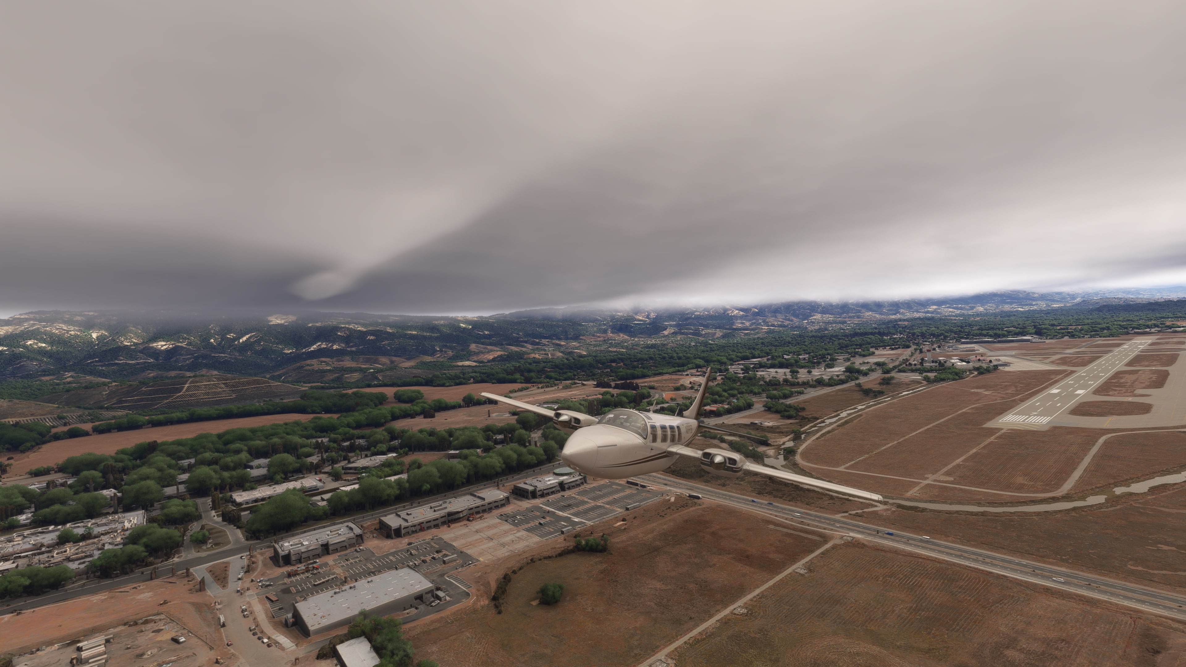
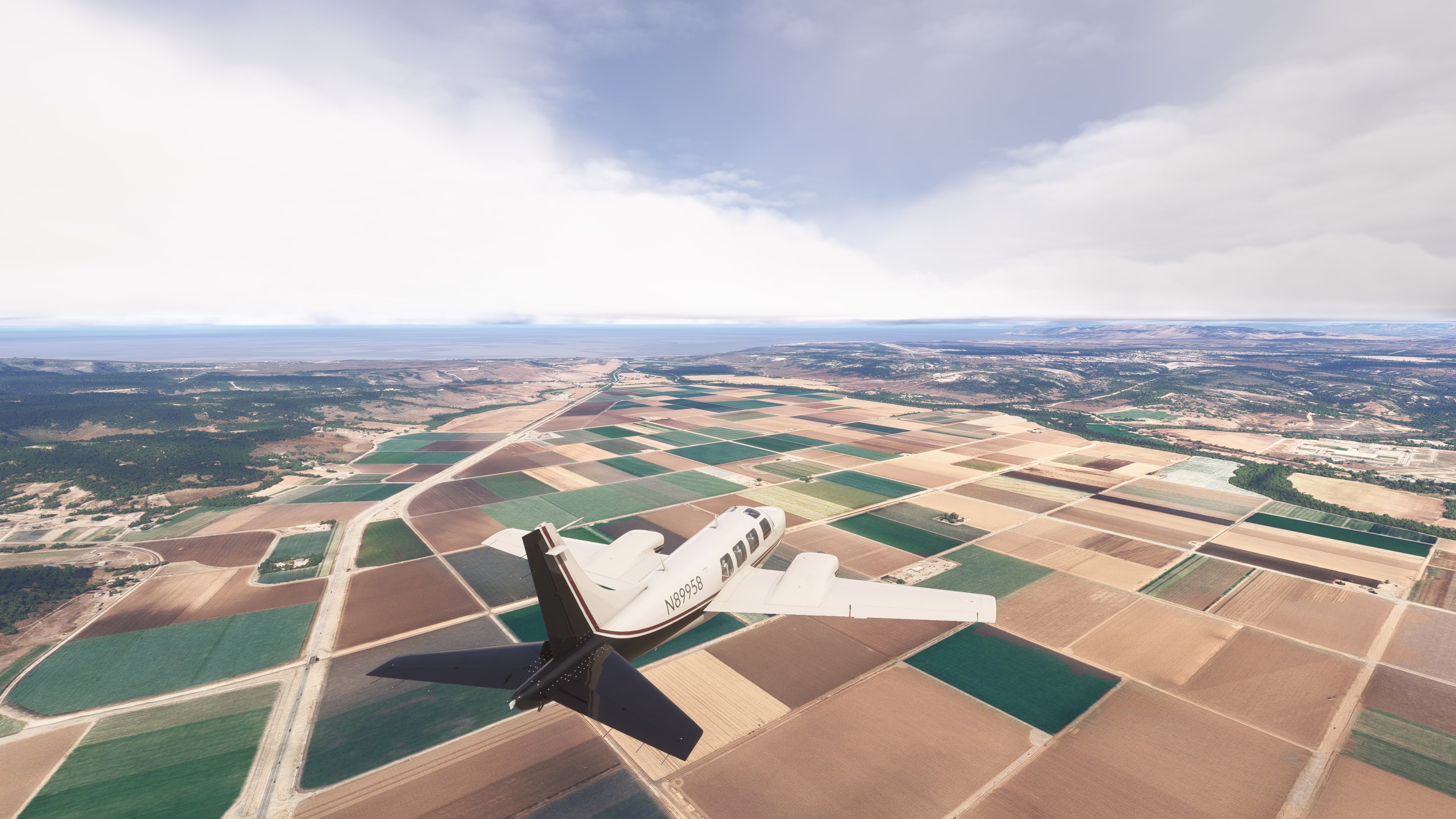
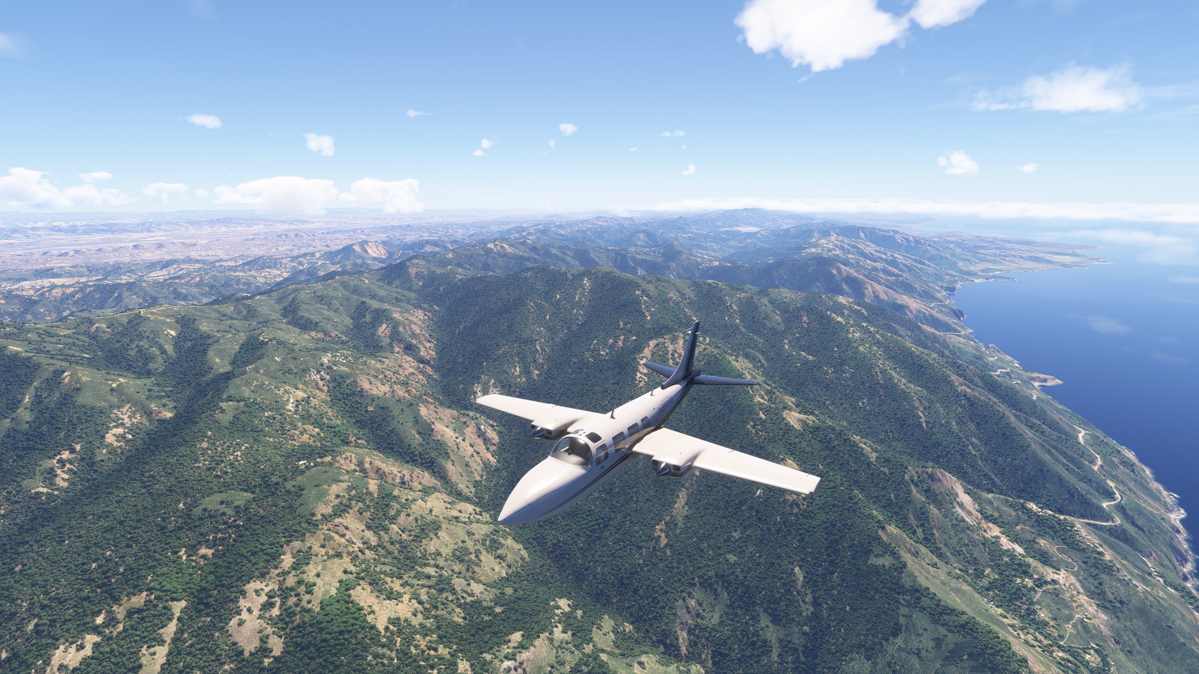
🛫 Departure from Santa Barbara Muni (KSBA) – an airport nestled between the Santa Ynez Mountains and the Pacific. After takeoff, views open up to the seaside with vineyards and palms in the background. The flight begins along the famous Pacific Coast Highway.
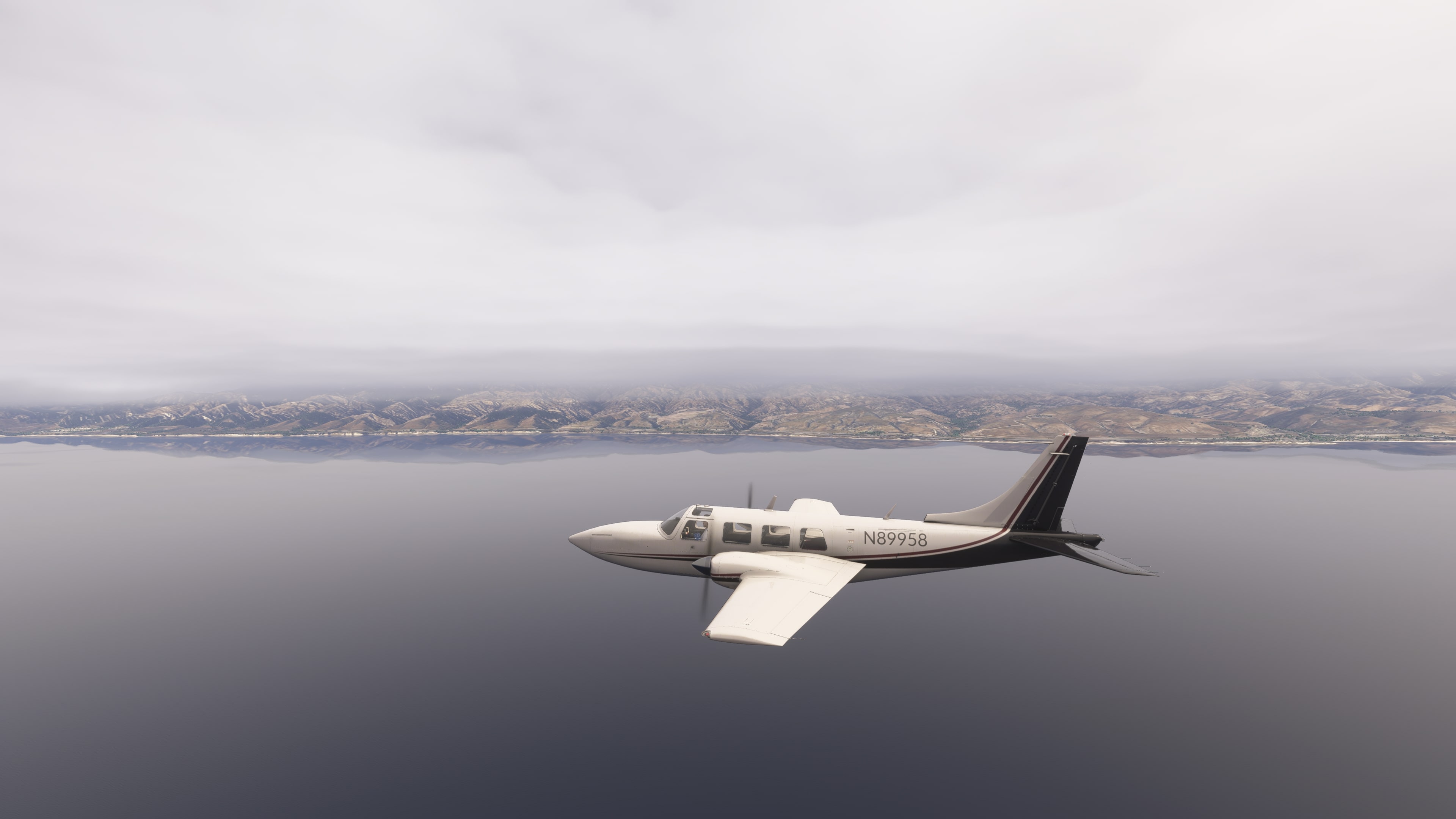
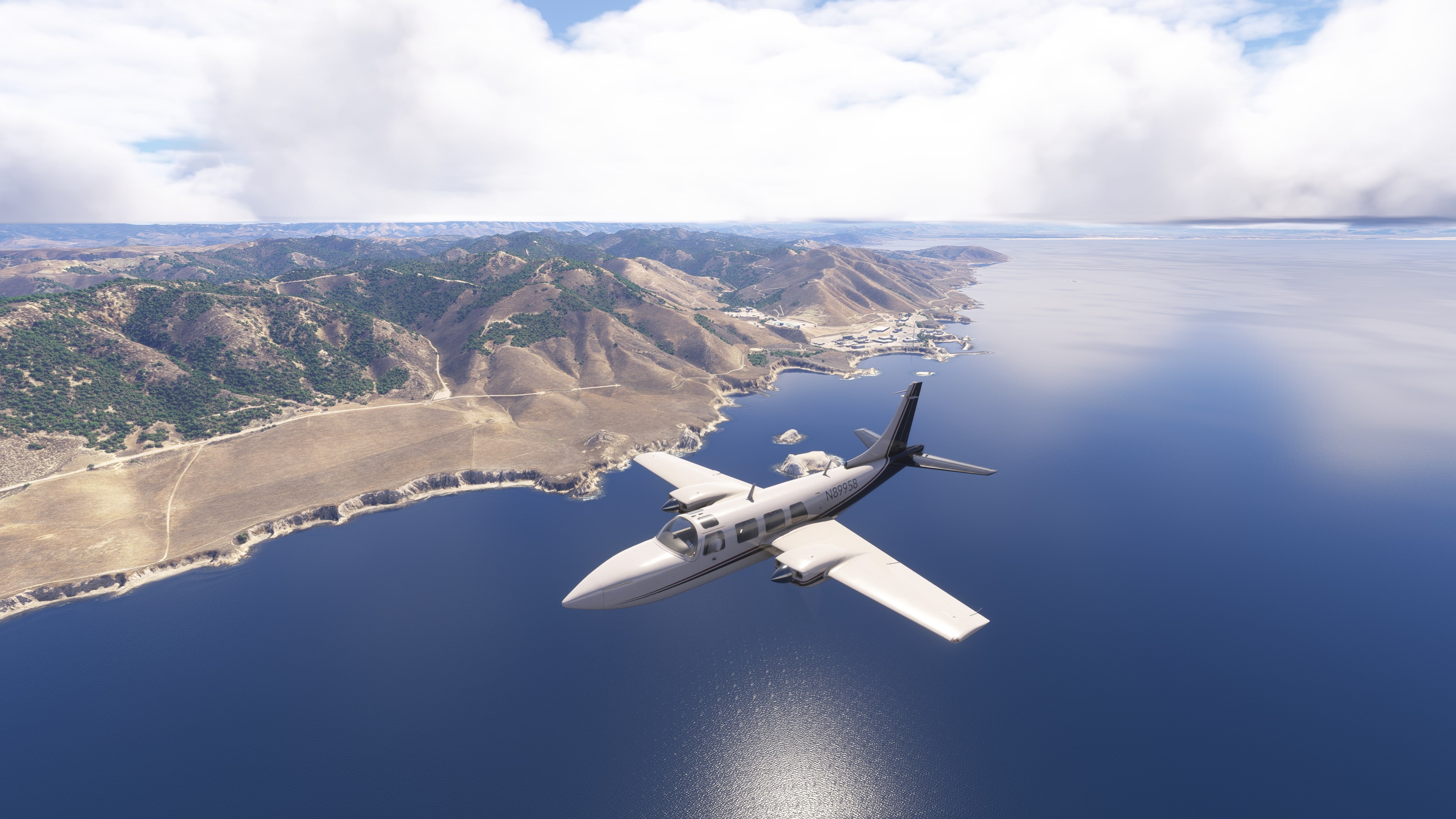
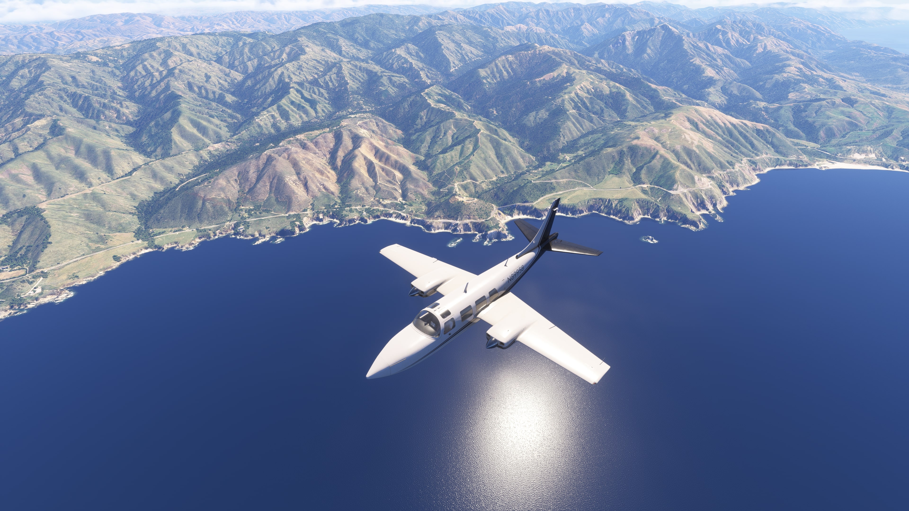
🏞️ Big Sur Coast – a stretch of California marked by steep cliffs, winding bays, and the endless ocean. The region is often covered in fog.
🌁 Bixby Creek Bridge – an iconic arched bridge well-known from movies and TV shows.
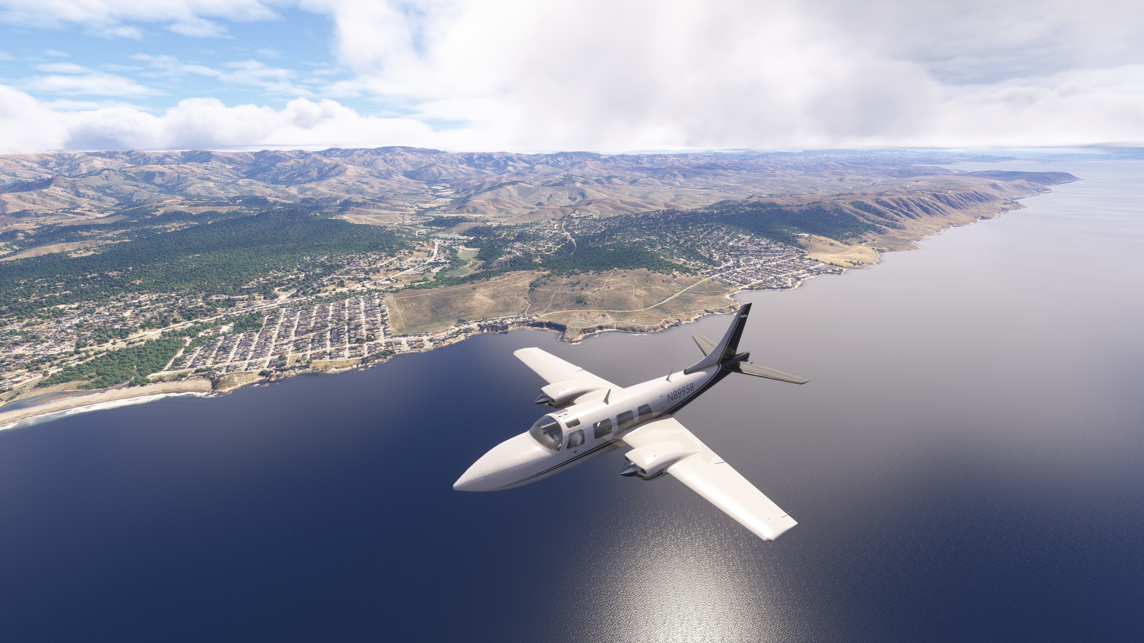
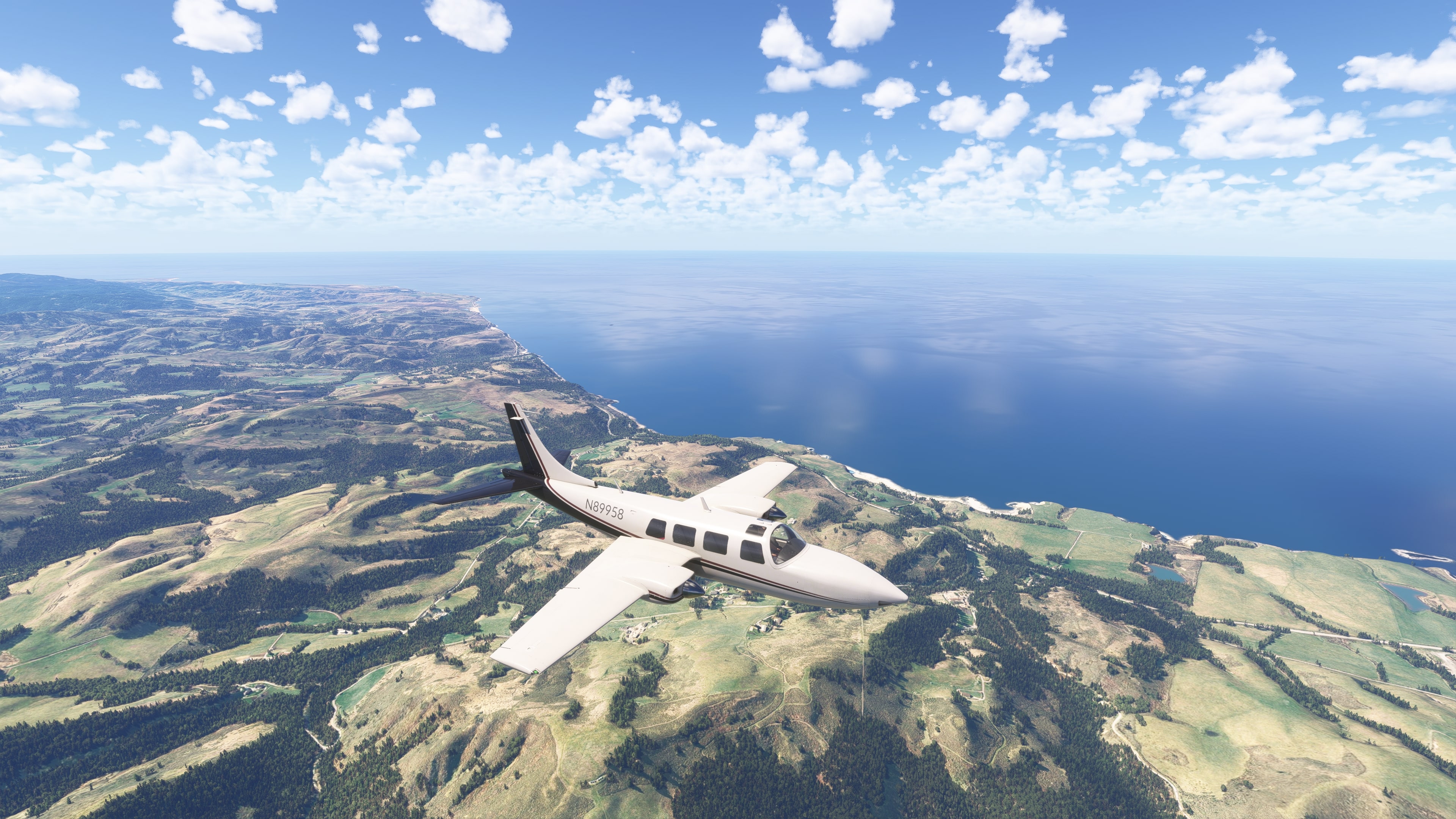
🏖️ Monterey and Carmel-by-the-Sea – a picturesque town and coastline lined with beaches and forested hills.
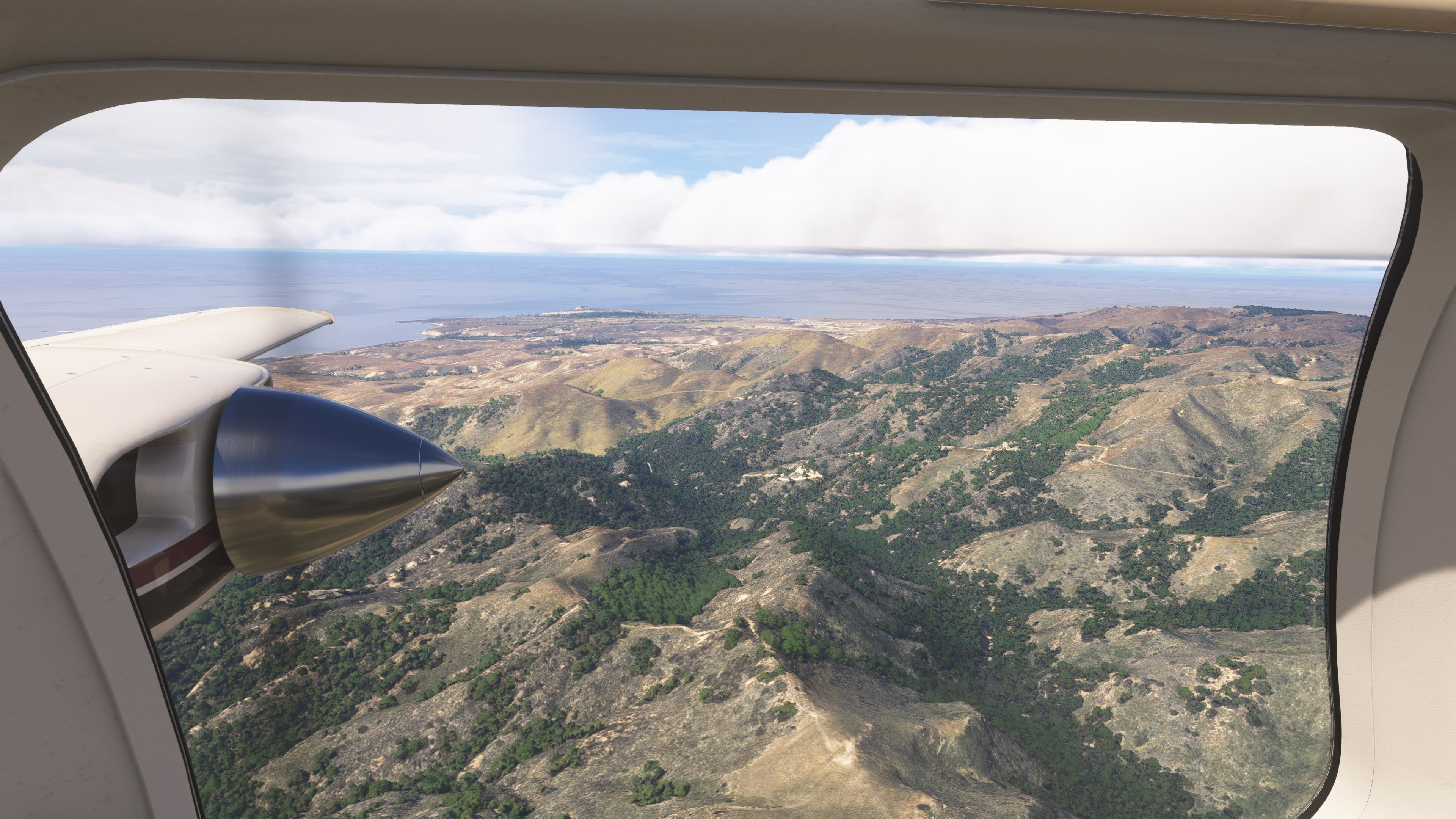
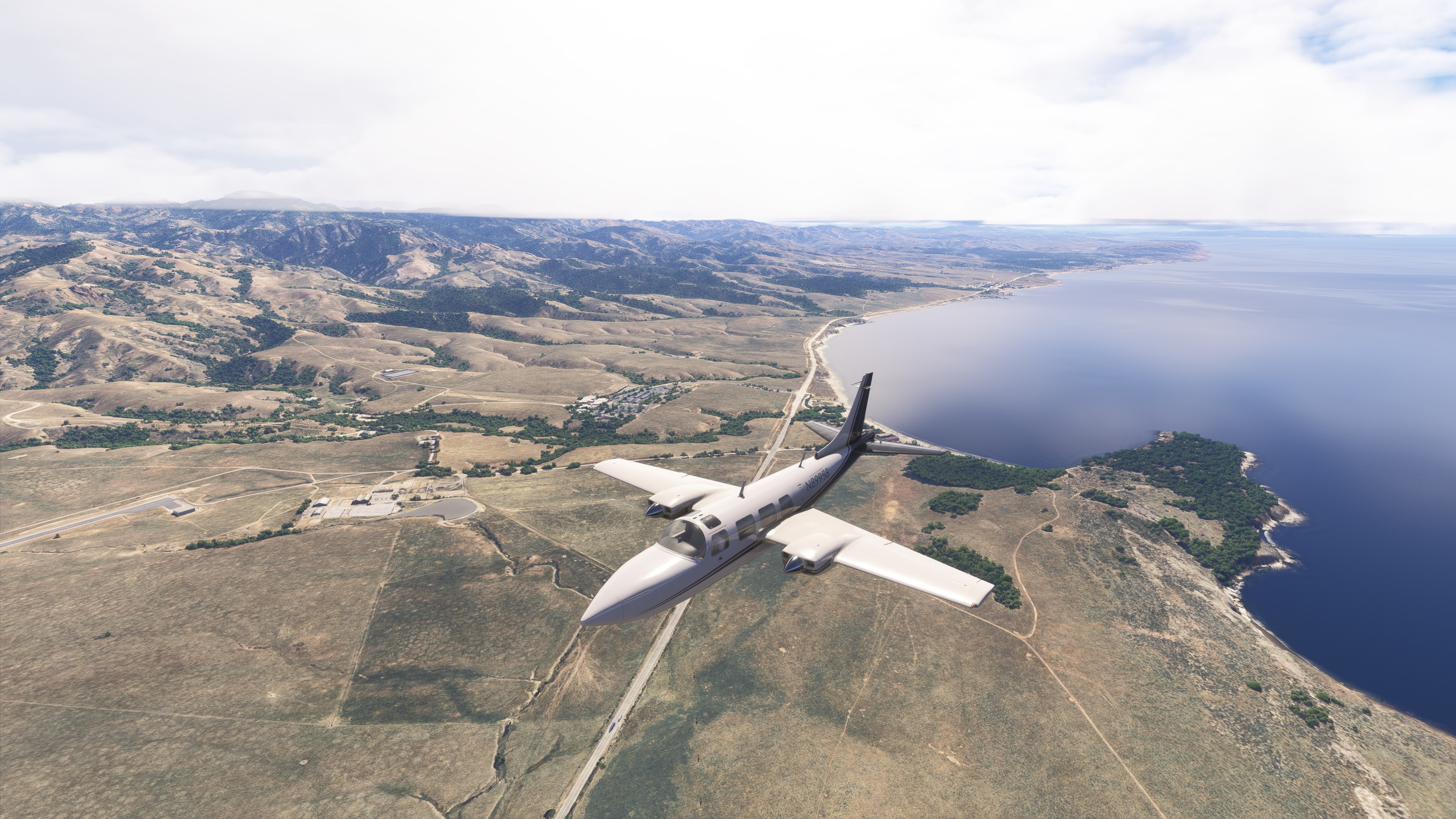
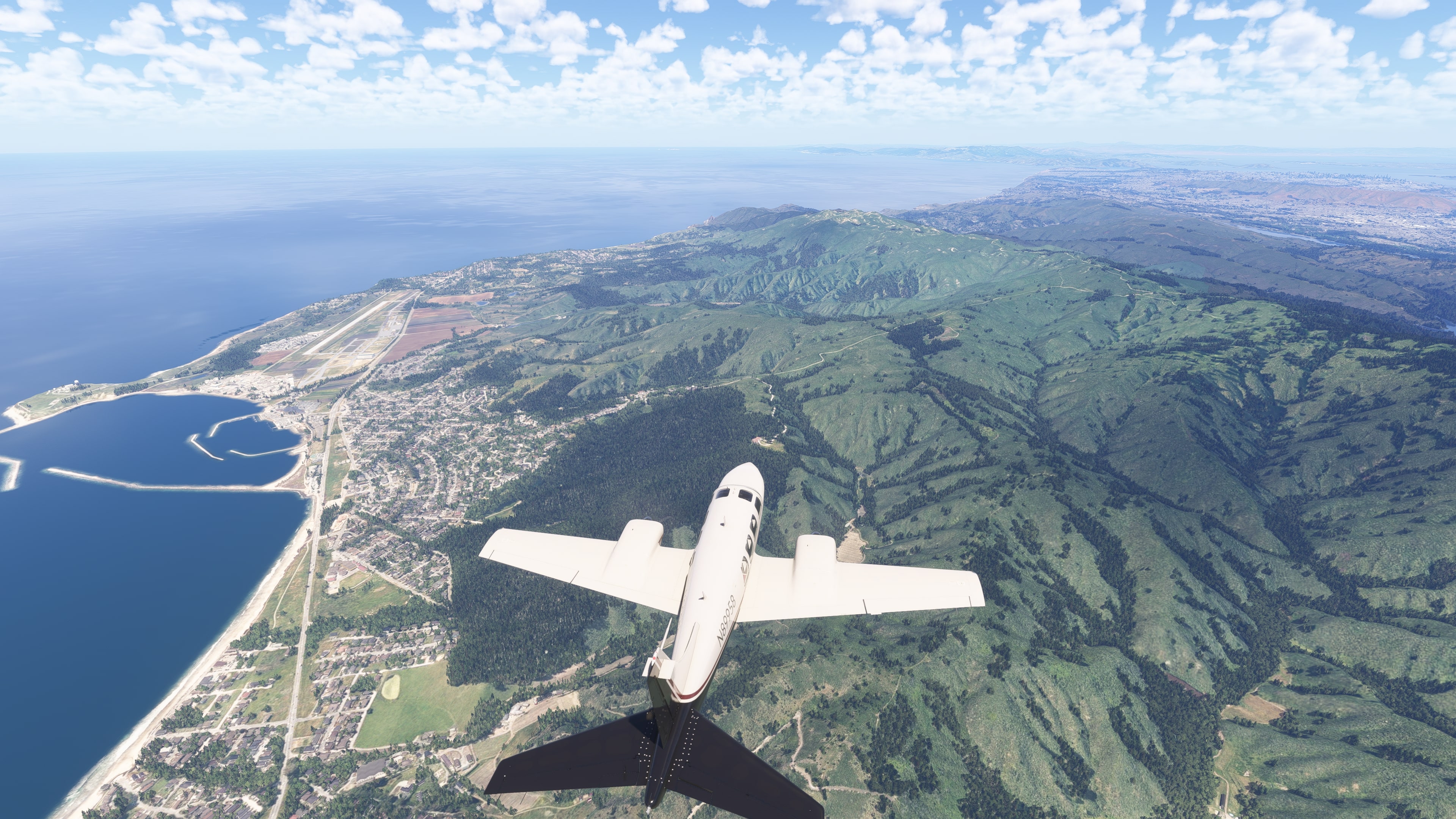
🌿 Half Moon Bay – a quieter part of the coast with fields, open beaches, and surfing spots.
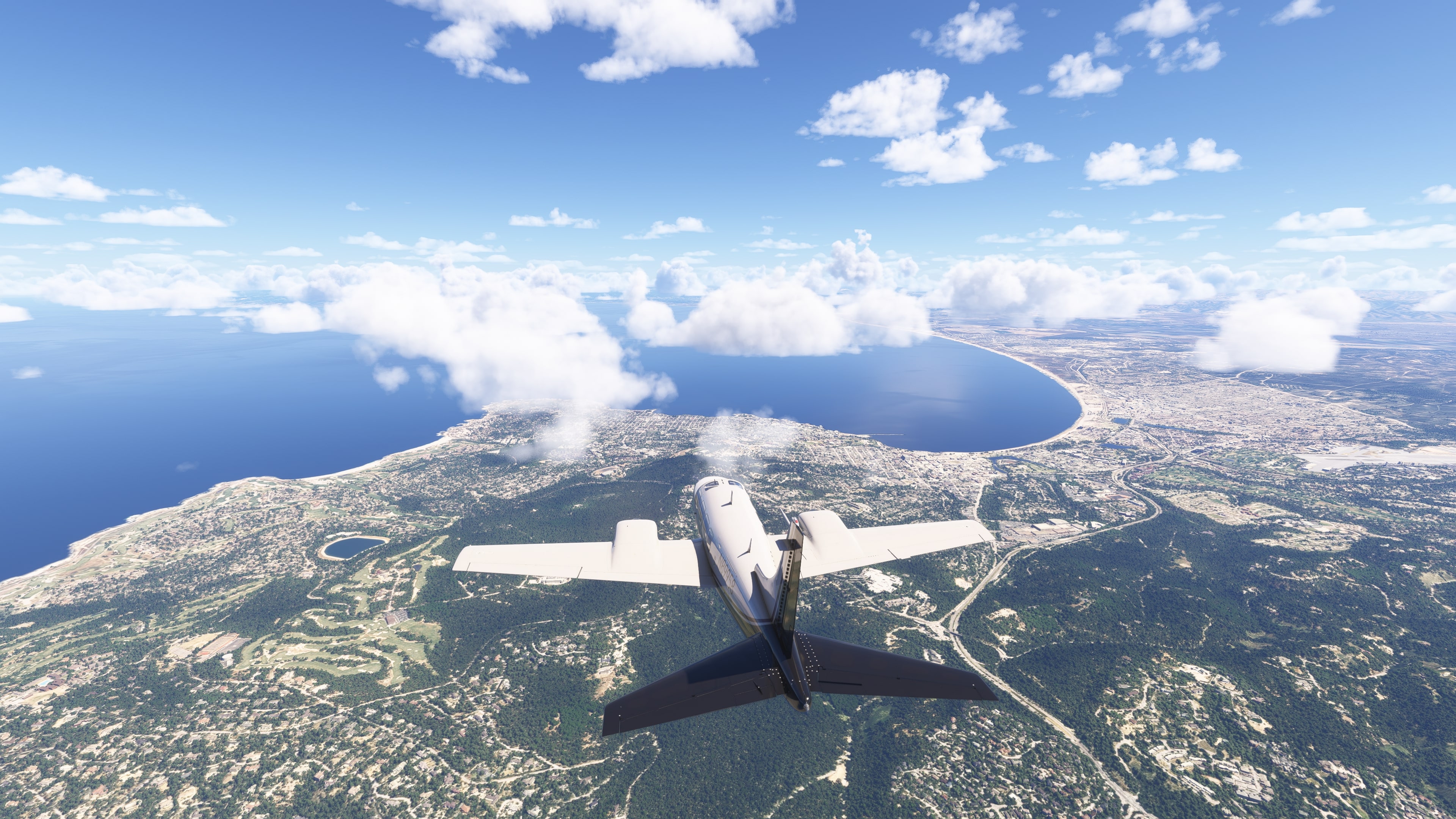
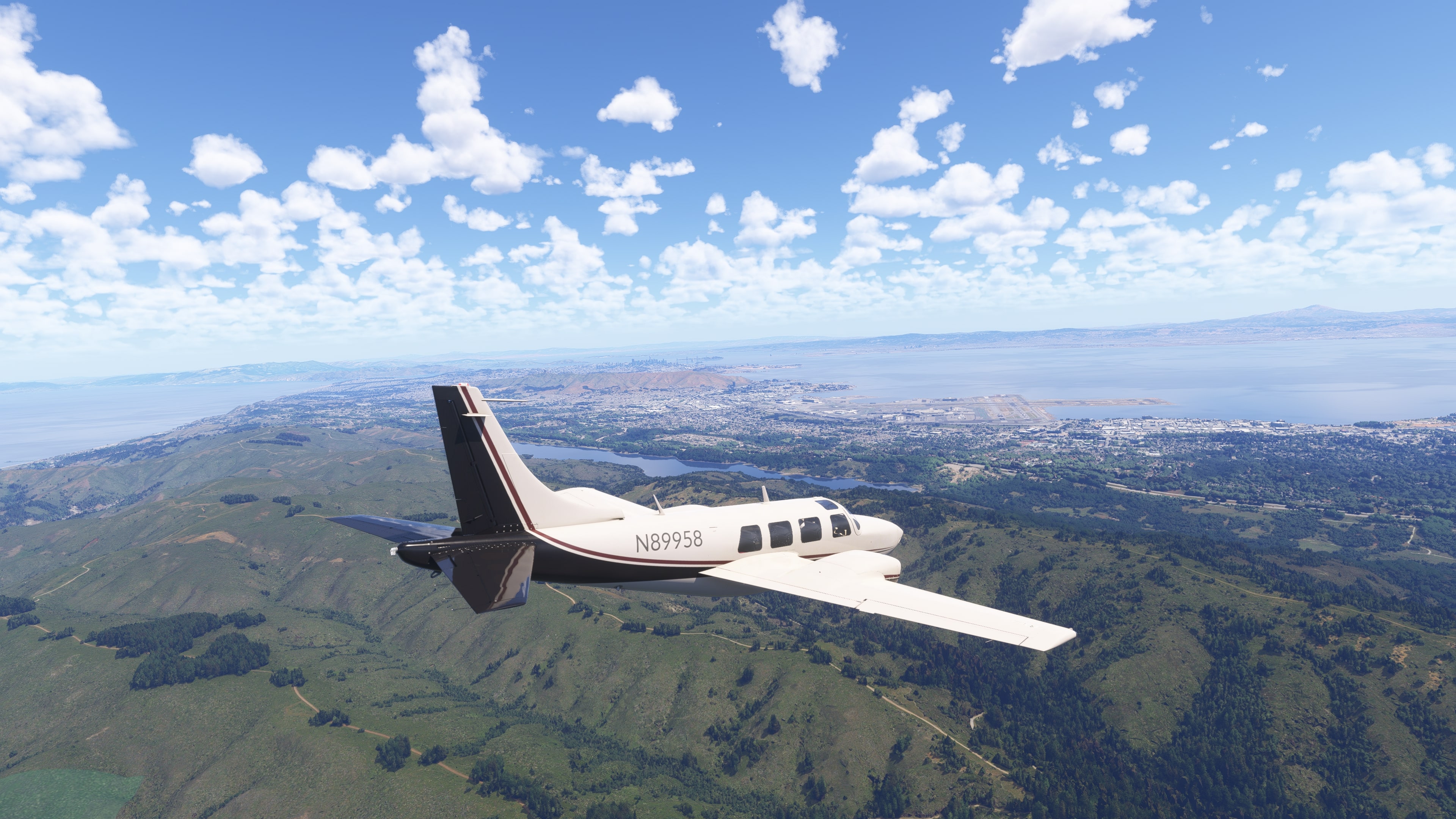
🌉 Approaching San Francisco from the south – the city appears behind a curtain of fog. Visible landmarks include Downtown skyscrapers and the Twin Peaks hills.
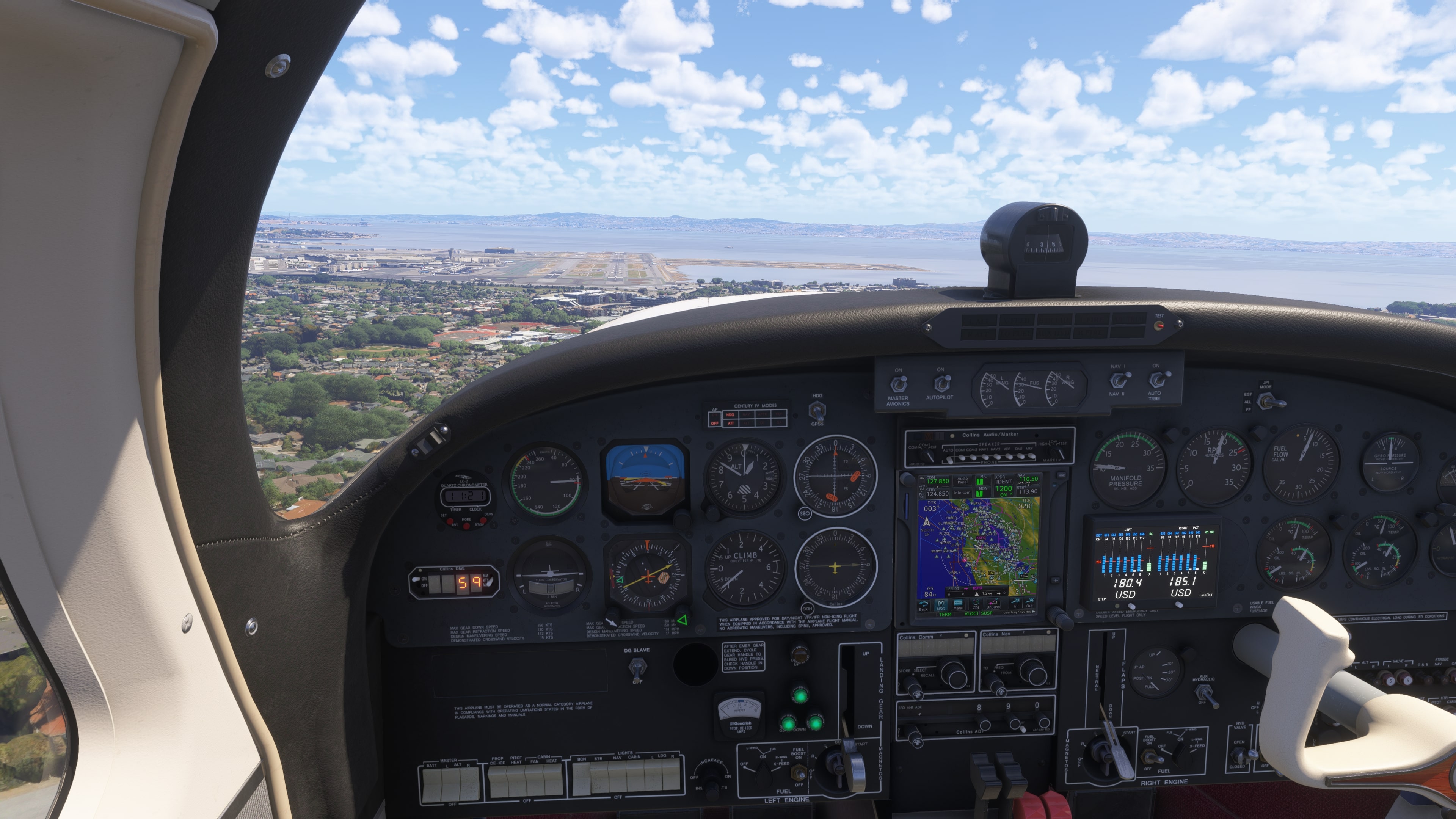
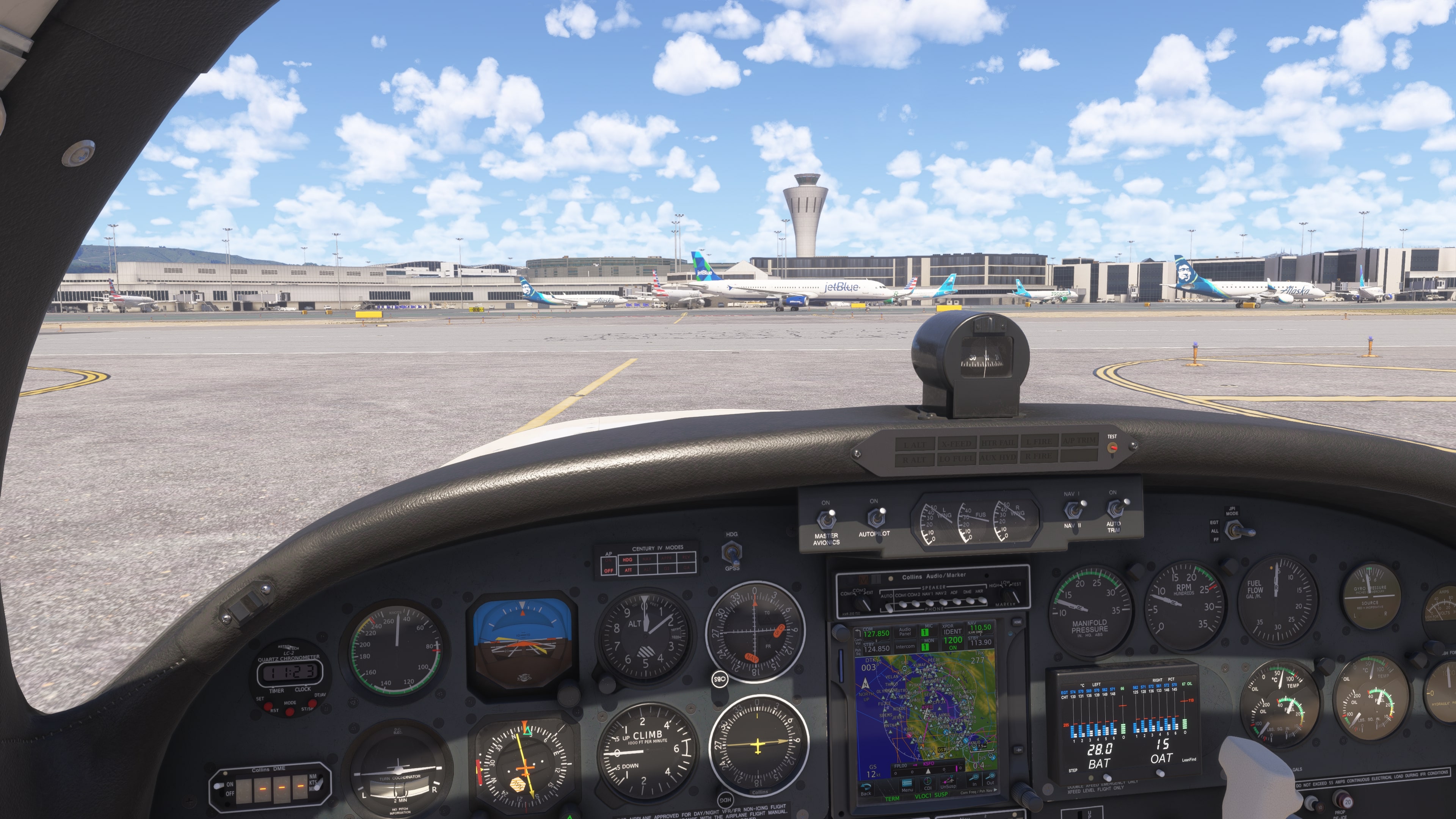
🛬 San Francisco Intl (KSFO) – the airport is located south of the city center, right by the water.
📍 Interesting points along the route
🌴 Santa Barbara Coast
– Palms, beaches, and villas in the background.
🧭 Big Sur
– Steep cliffs, deep blue Pacific waters.
🌉 Bixby Bridge
– One of the most famous bridges in the USA.
🌊 Monterey Bay
– Chance to spot pods of dolphins or whales.
– The city and the Pebble Beach peninsula.
🌾 Half Moon Bay
– Green fields by the ocean.
– Often foggy – a typical Californian atmosphere.
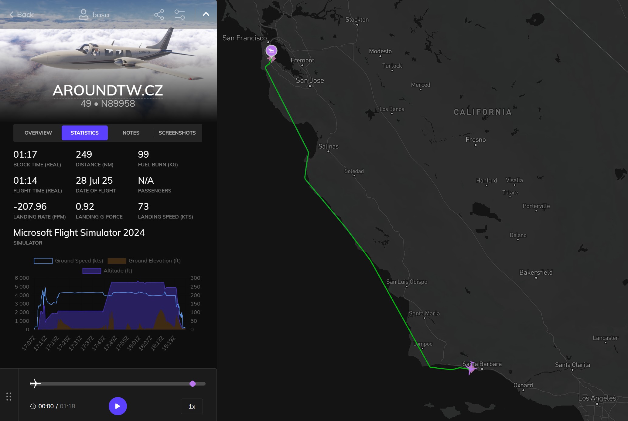
- Distance: 461 km
- Total Distance: 39,918 km
- Flight Time: 1 hour 14 minutes
- Total Flight Time: 128 hours 51 minute
One response to “Flight 49”
dmyxrkisifyexnqlemofeyhdyjsnti