Chihuahua City – El Paso
🌎 Countries along the route
🇲🇽 Mexico
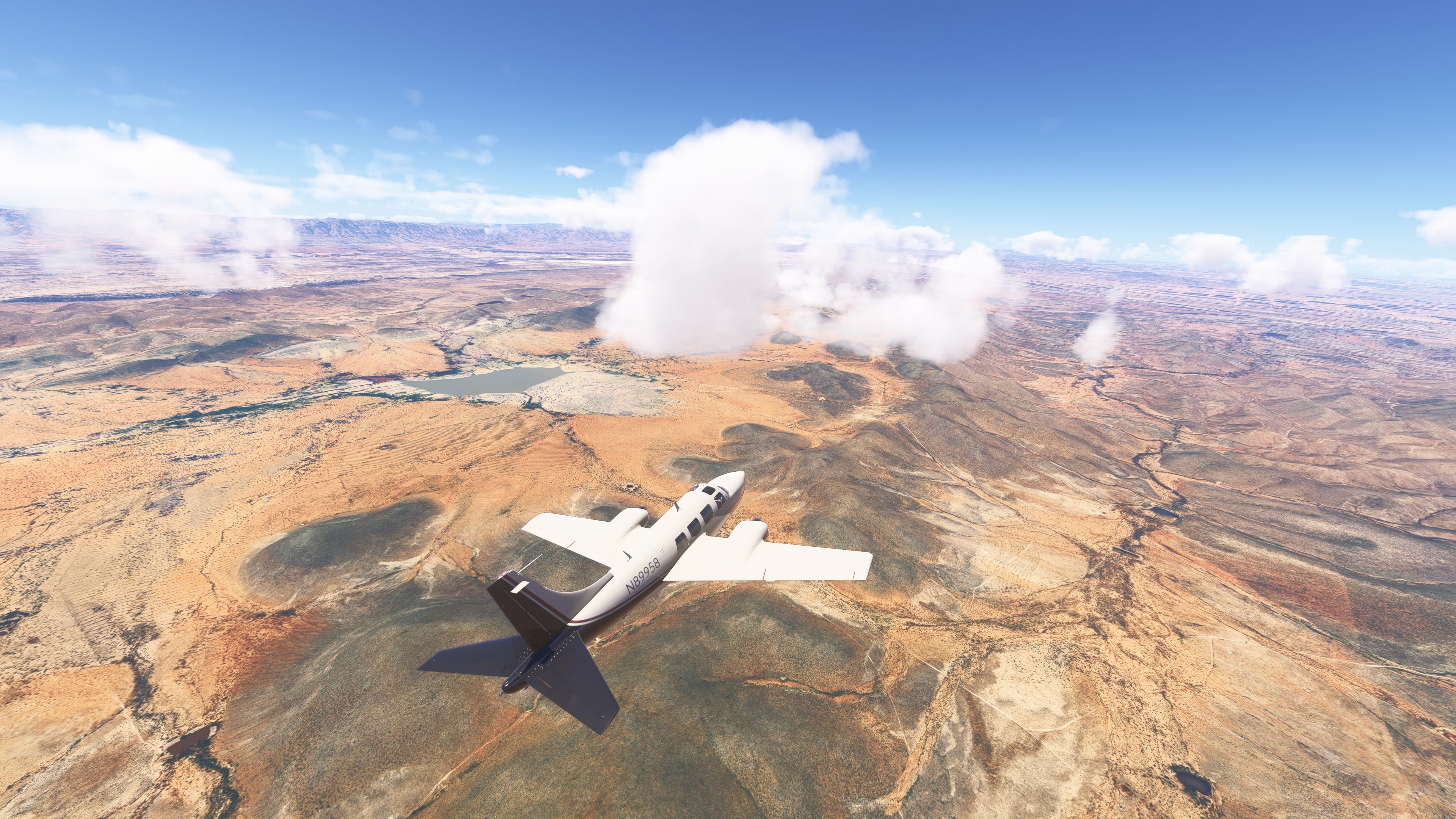
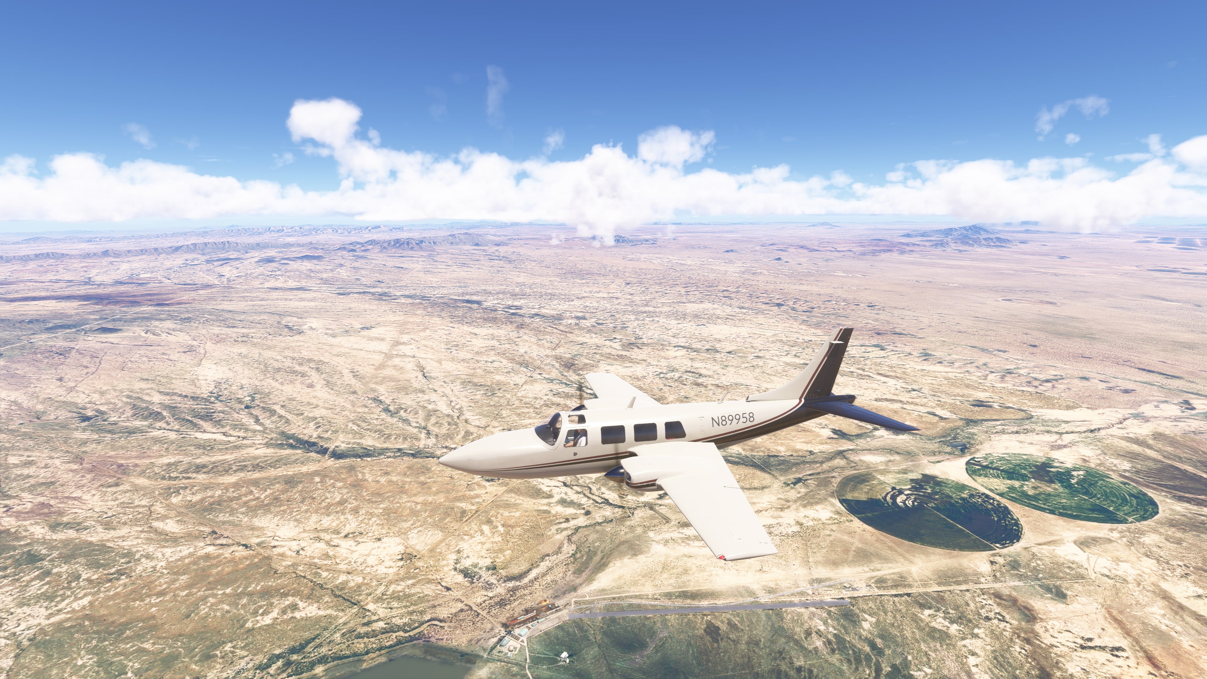
Departure from Chihuahua City (MMCU) – General Roberto Fierro Villalobos International Airport is located on the outskirts of the city. Shortly after takeoff, views open up over the plains and hills of northern Mexico. In the distance, the Sierra del Nido range and dry riverbeds can be seen.
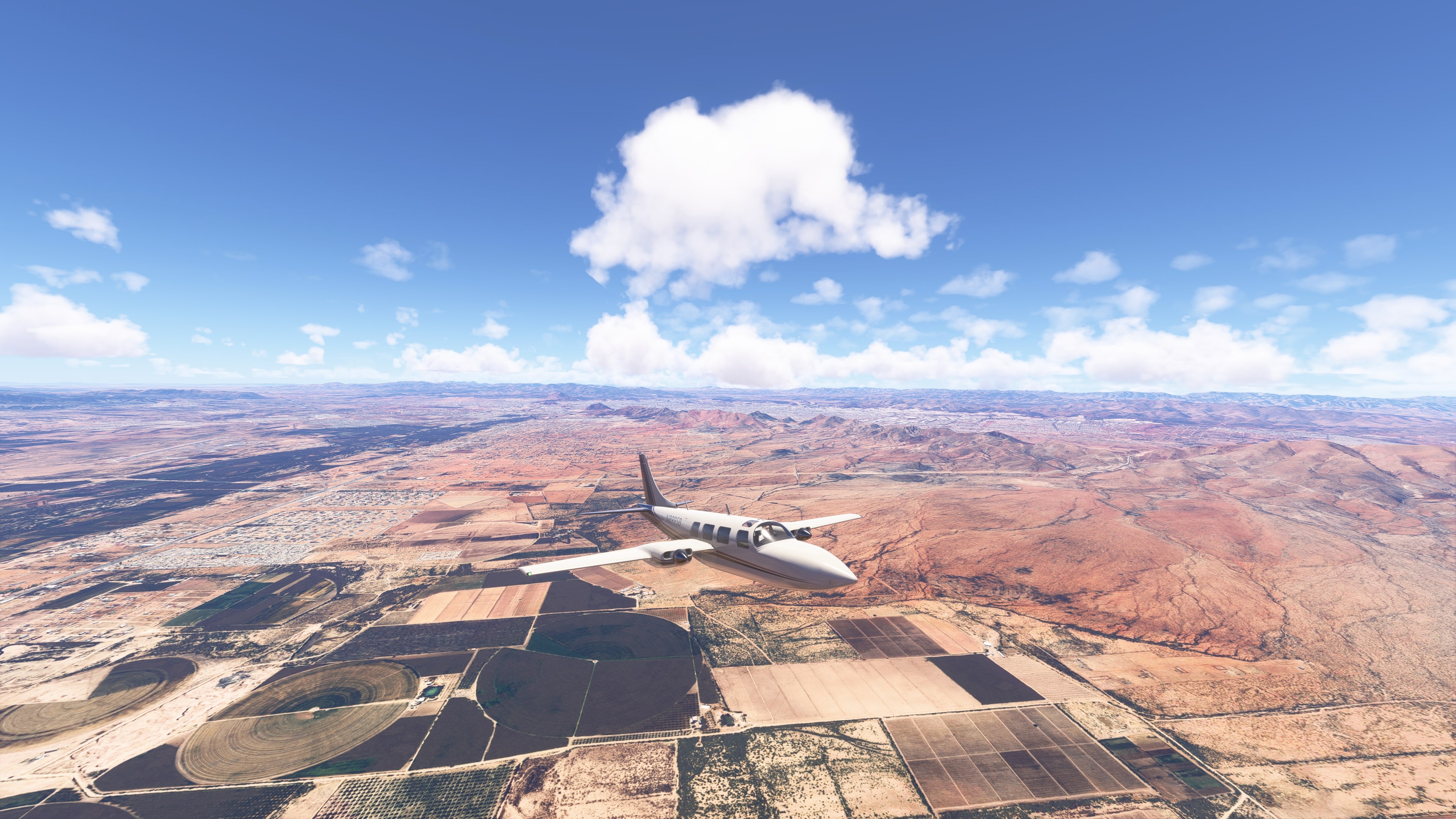
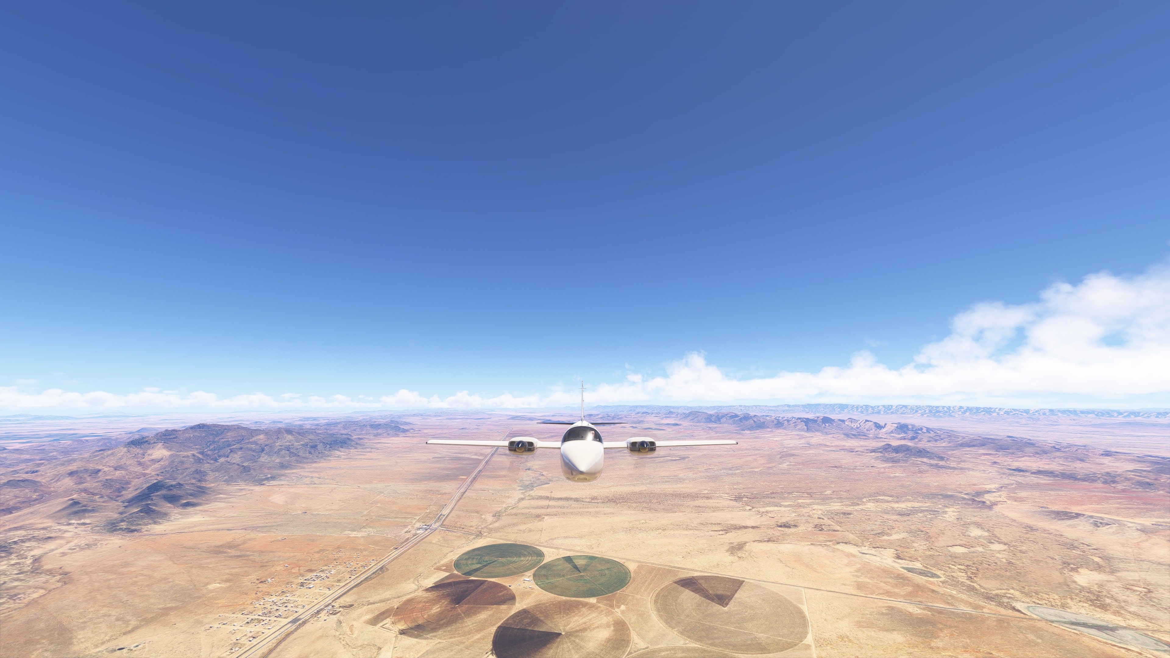
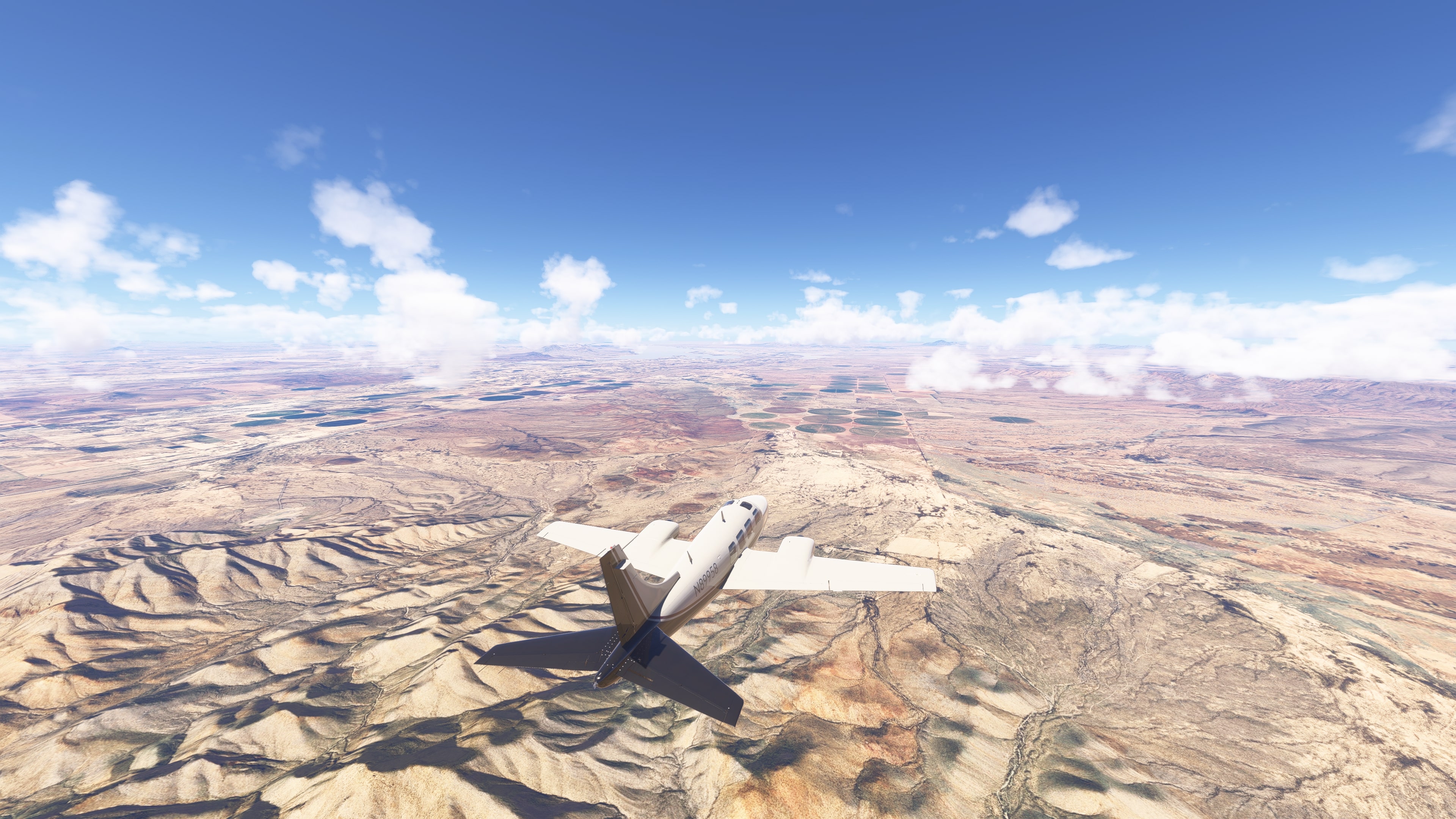
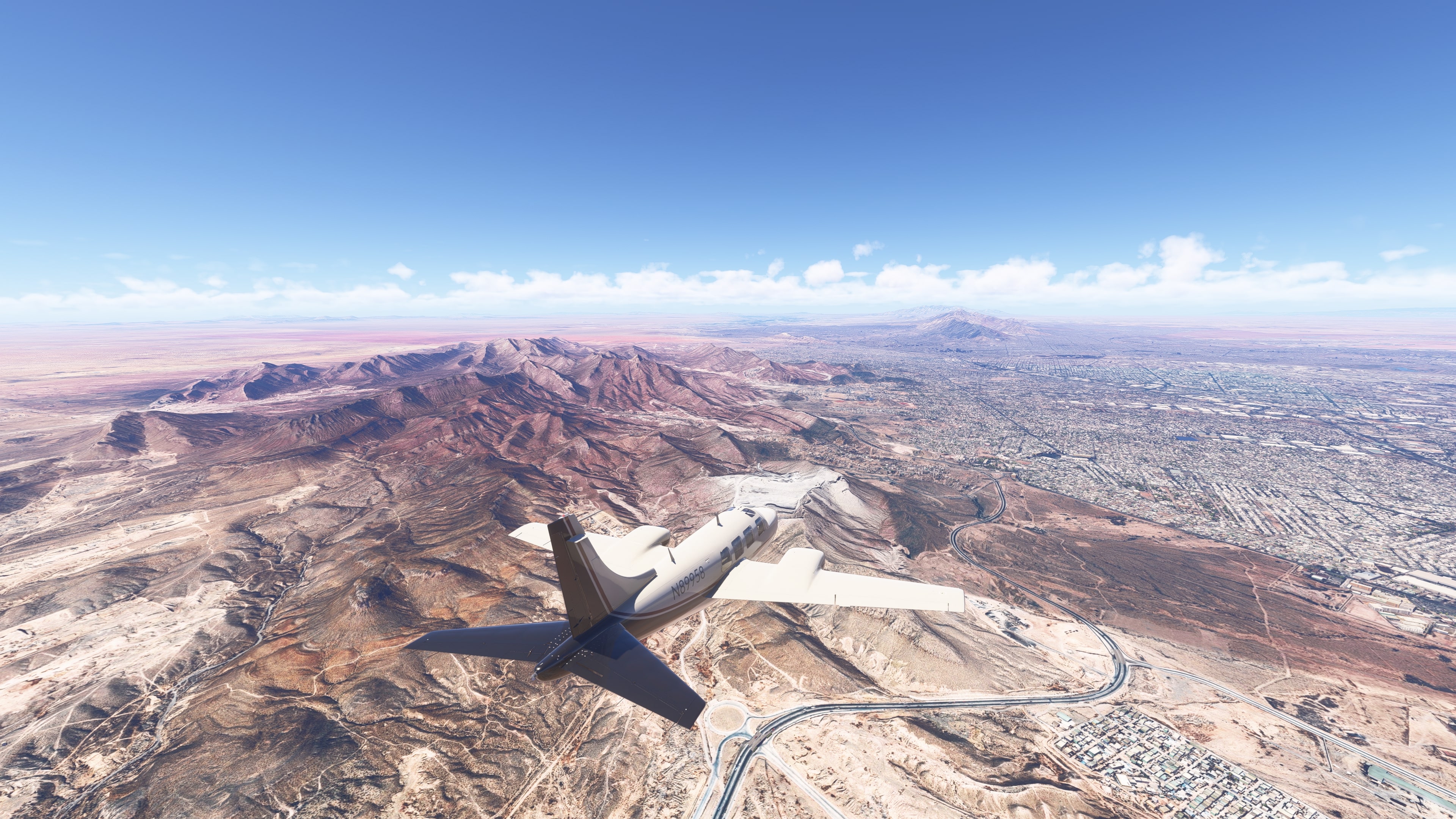
Chihuahuan Desert – sparse vegetation, semi‑desert plains, and isolated ranches. The landscape takes on reddish tones, and along the route there are traces of settlement – solitary roads, power lines, and small farms.
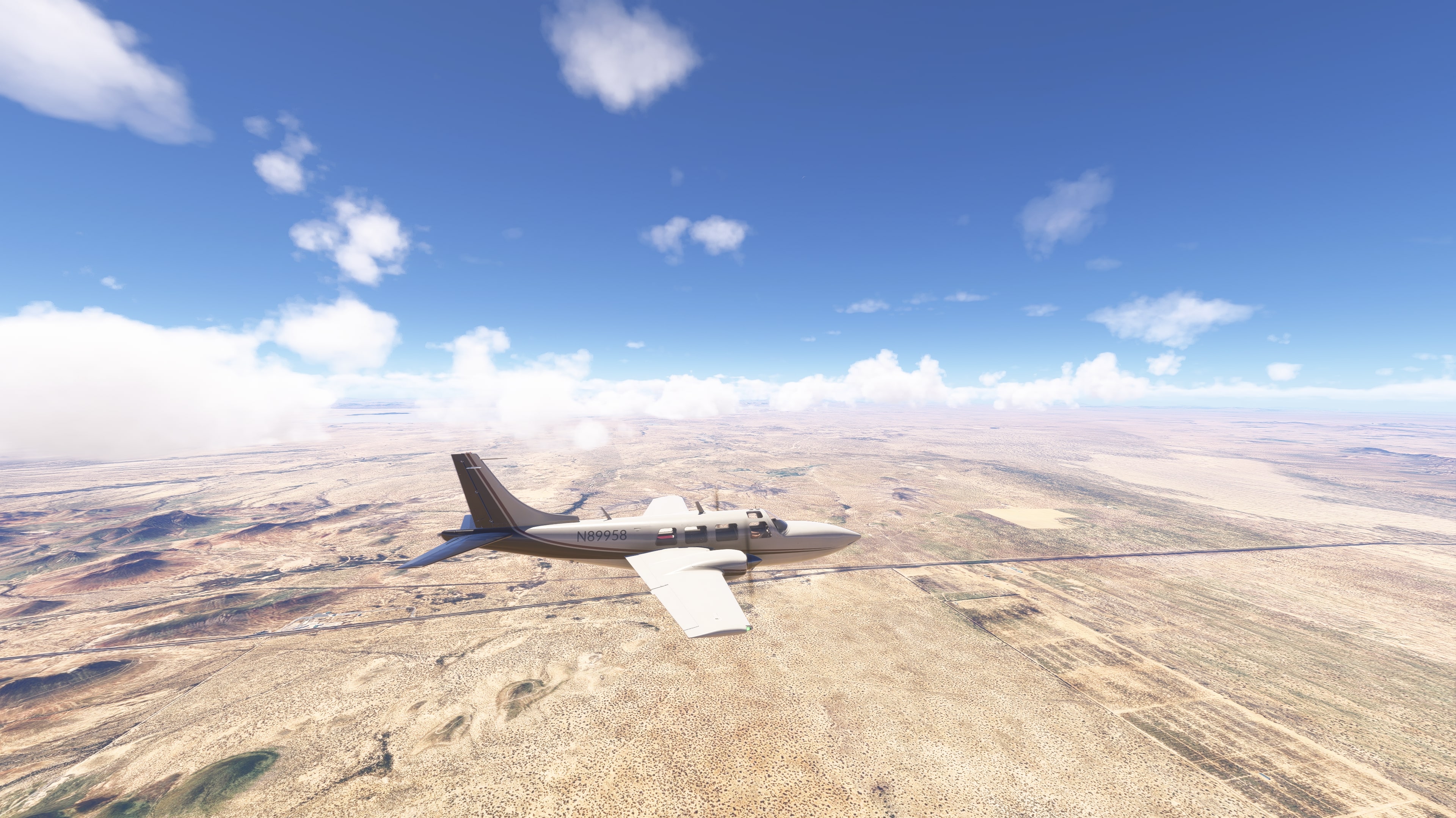
🏞️ Sierra de Juárez – as we approach the U.S. border, rocky formations and rolling ridges appear.
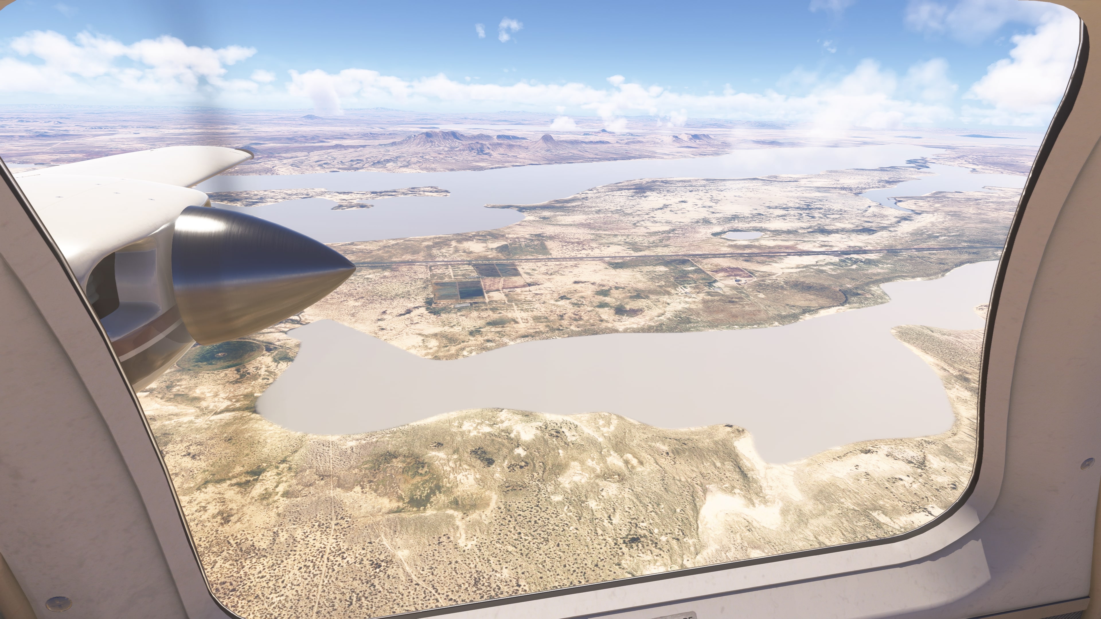
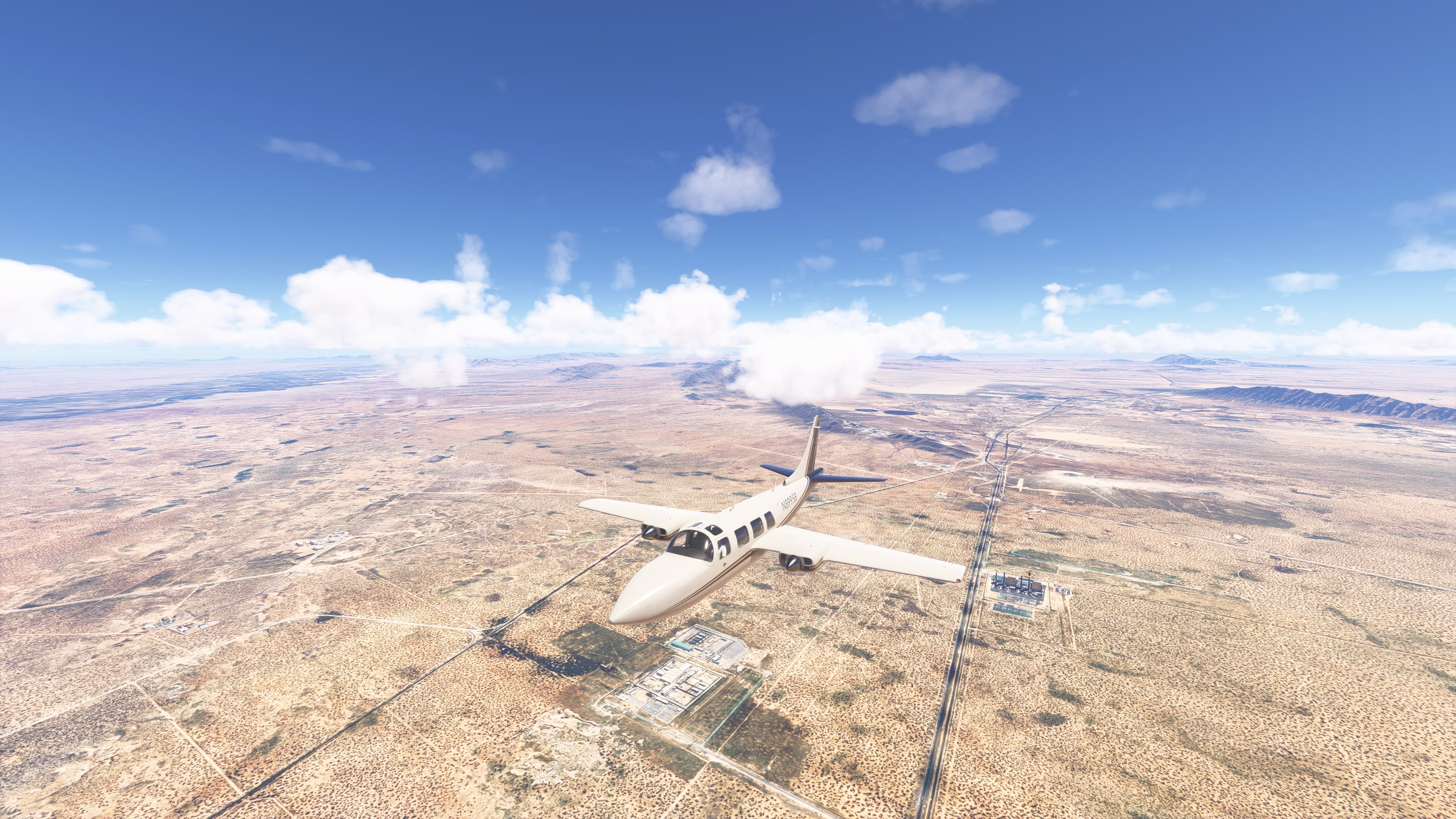
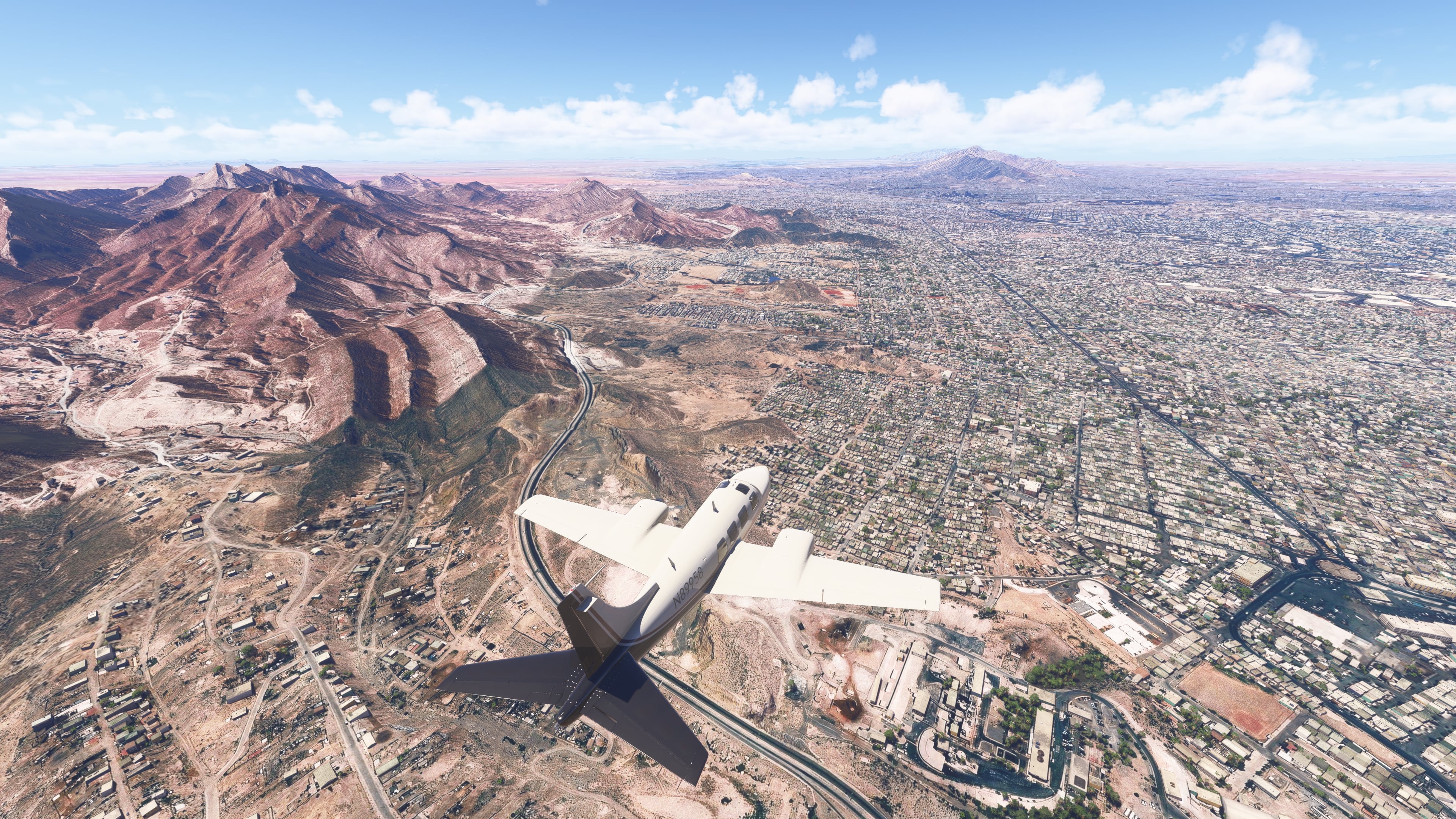
Crossing the Rio Grande – the meandering river forms the natural border between Mexico and the United States. In the Ciudad Juárez and El Paso area, the border is also marked by a stark contrast in urban development.
🇺🇸 USA
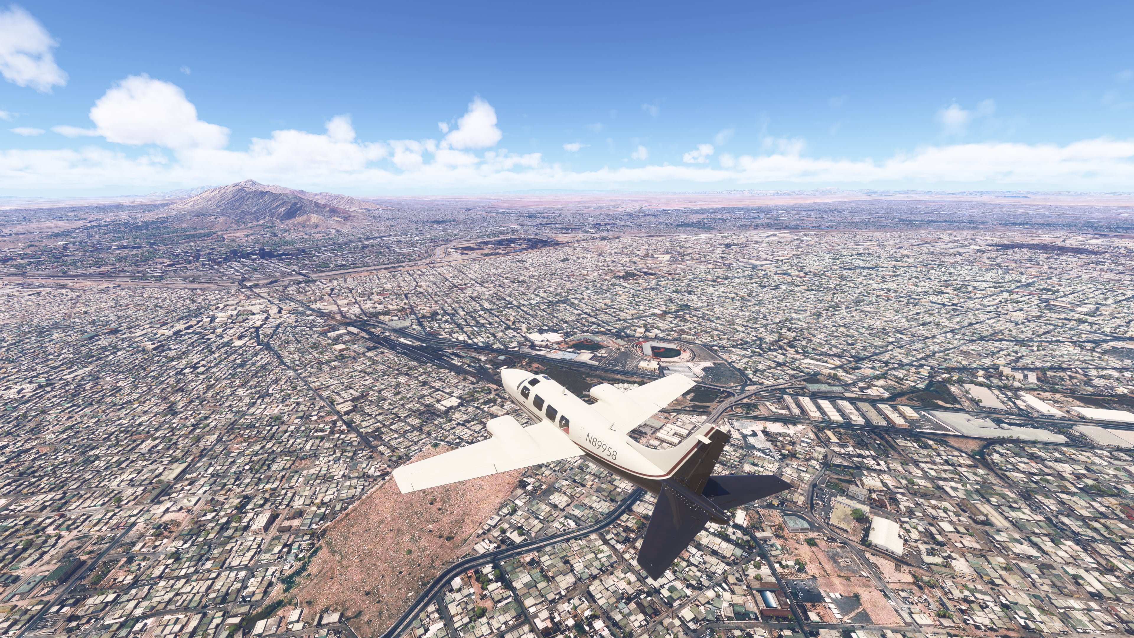
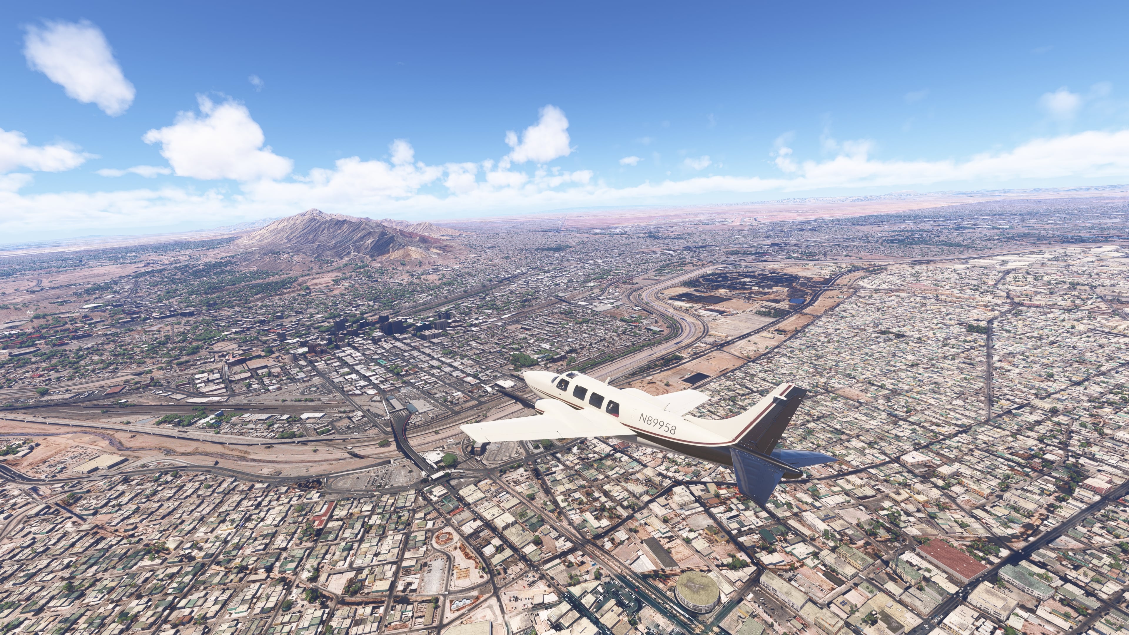
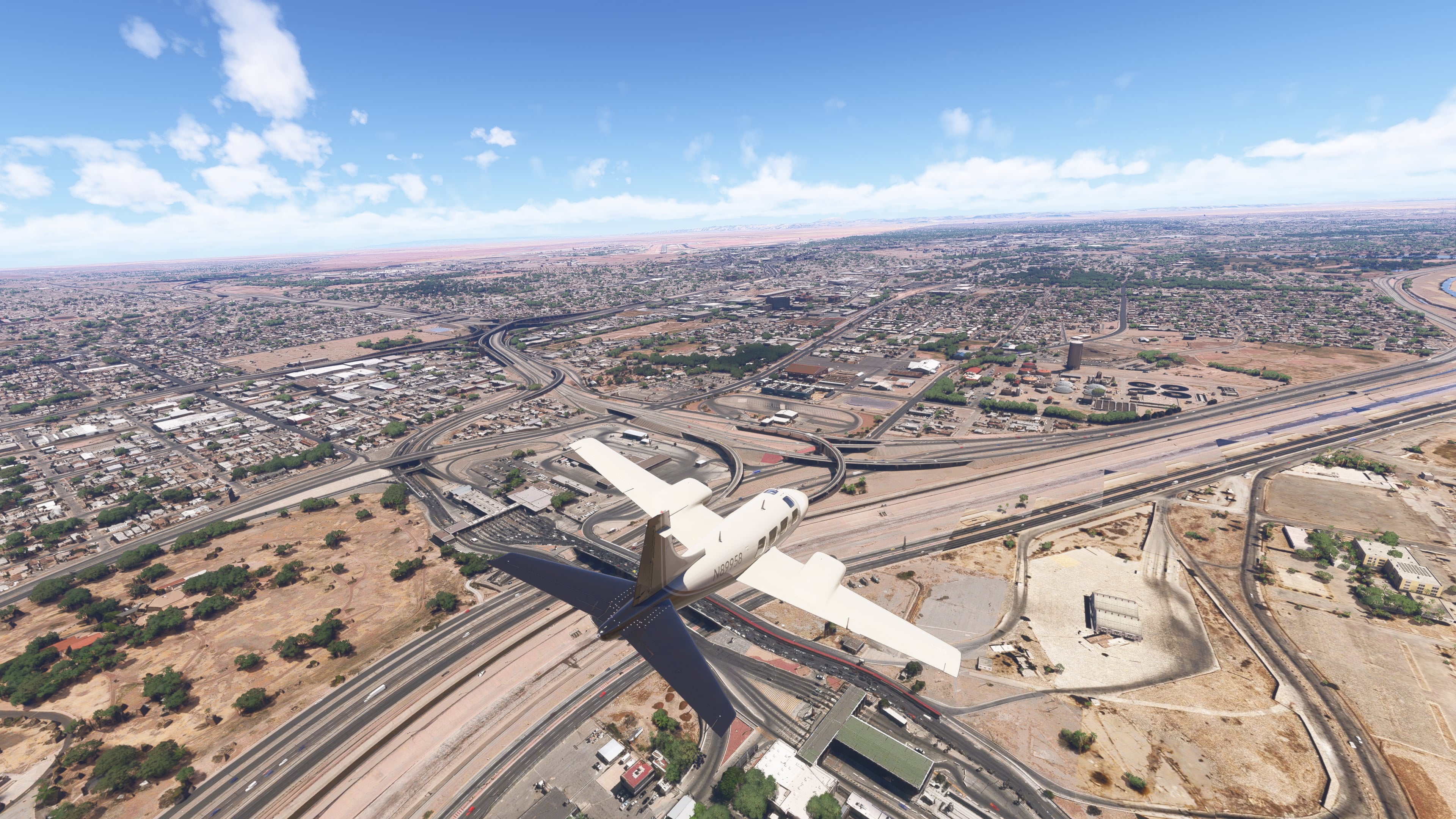
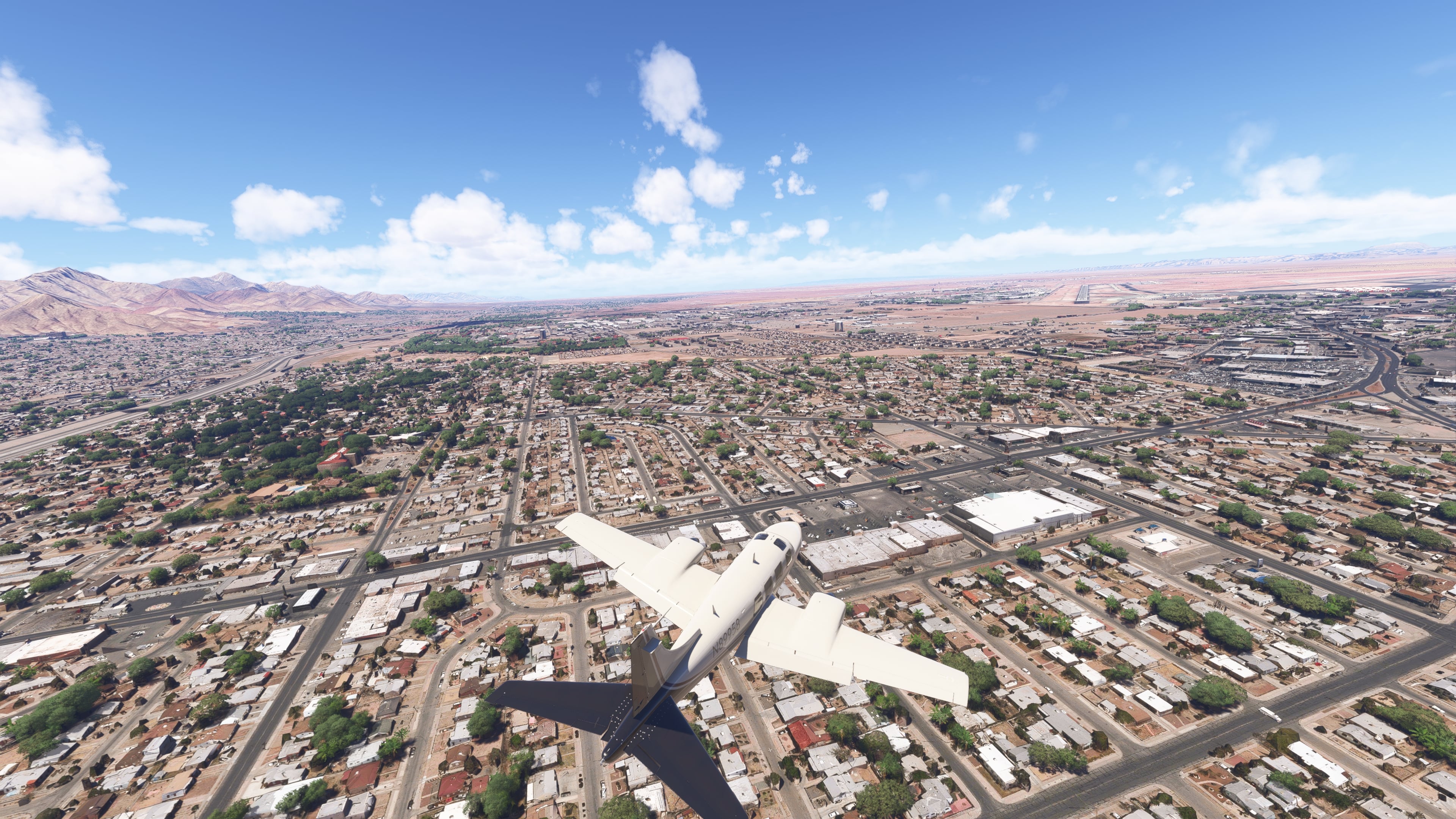
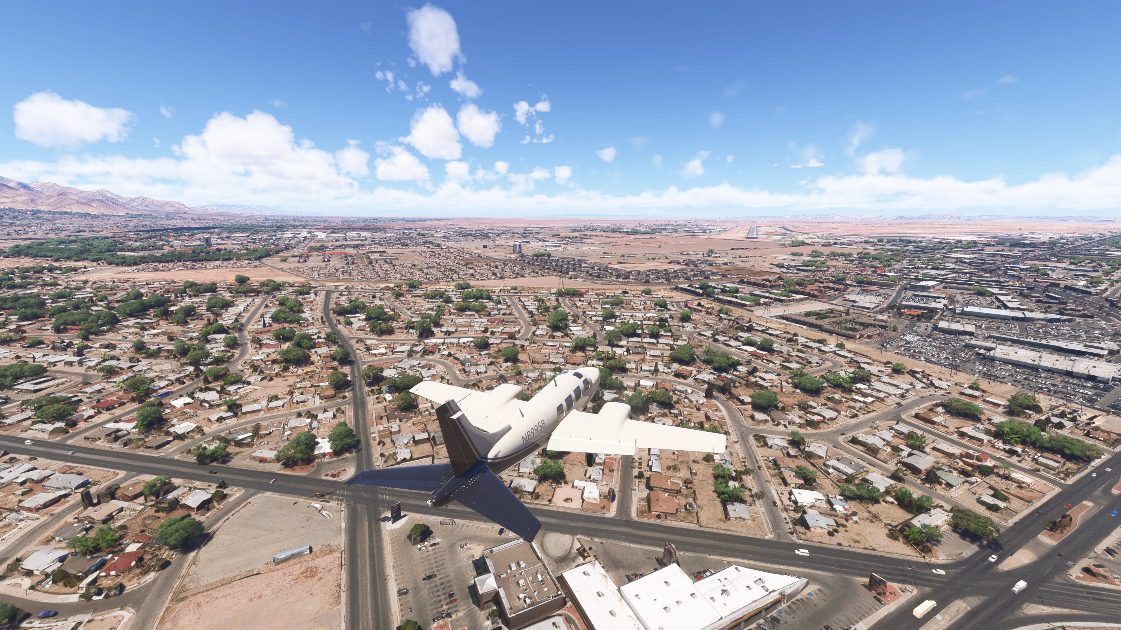
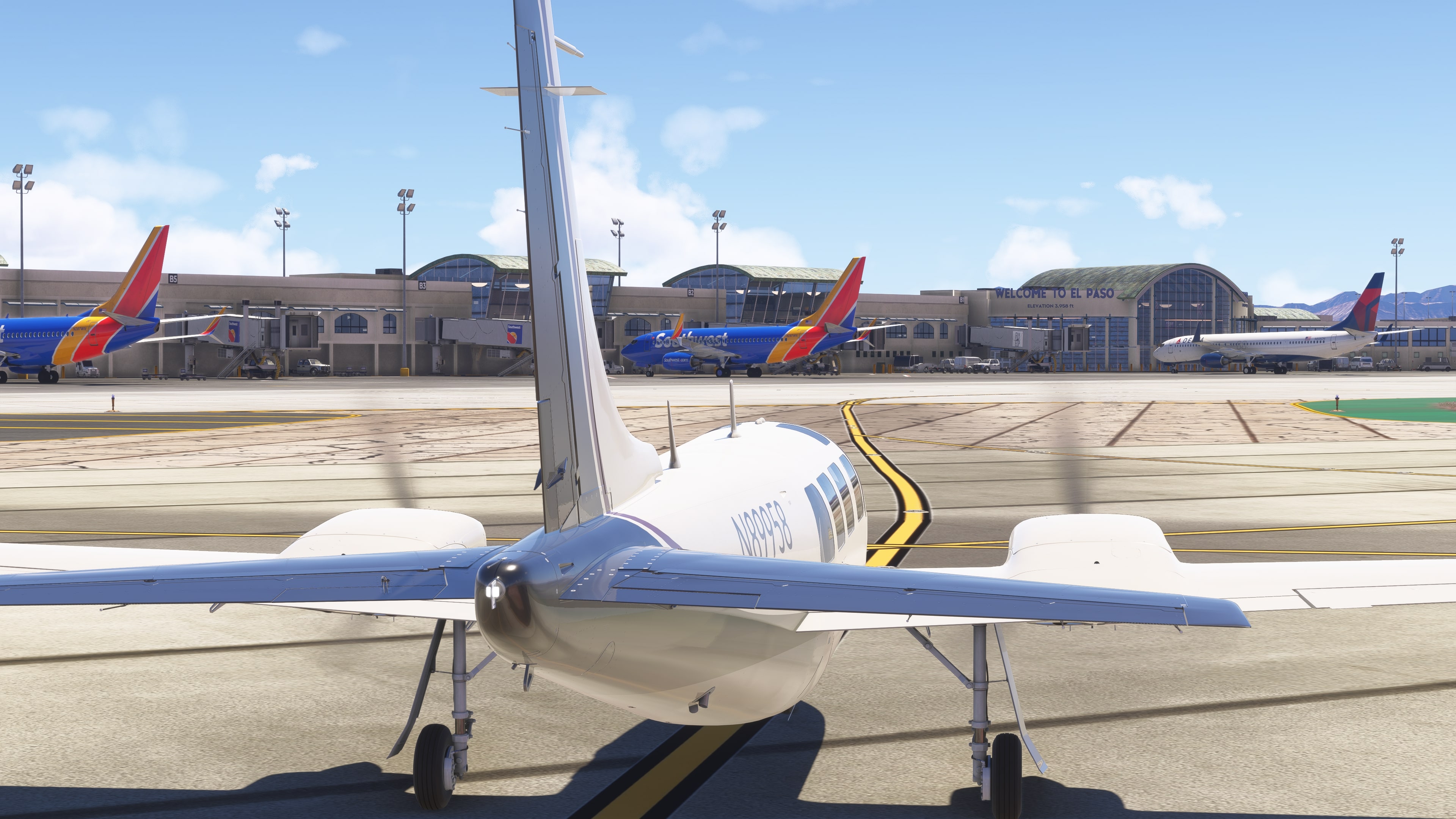
Texas – entering the USA brings a shift in urban layout and more prominent signs of development. The city of El Paso lies at the foot of the Franklin Mountains.
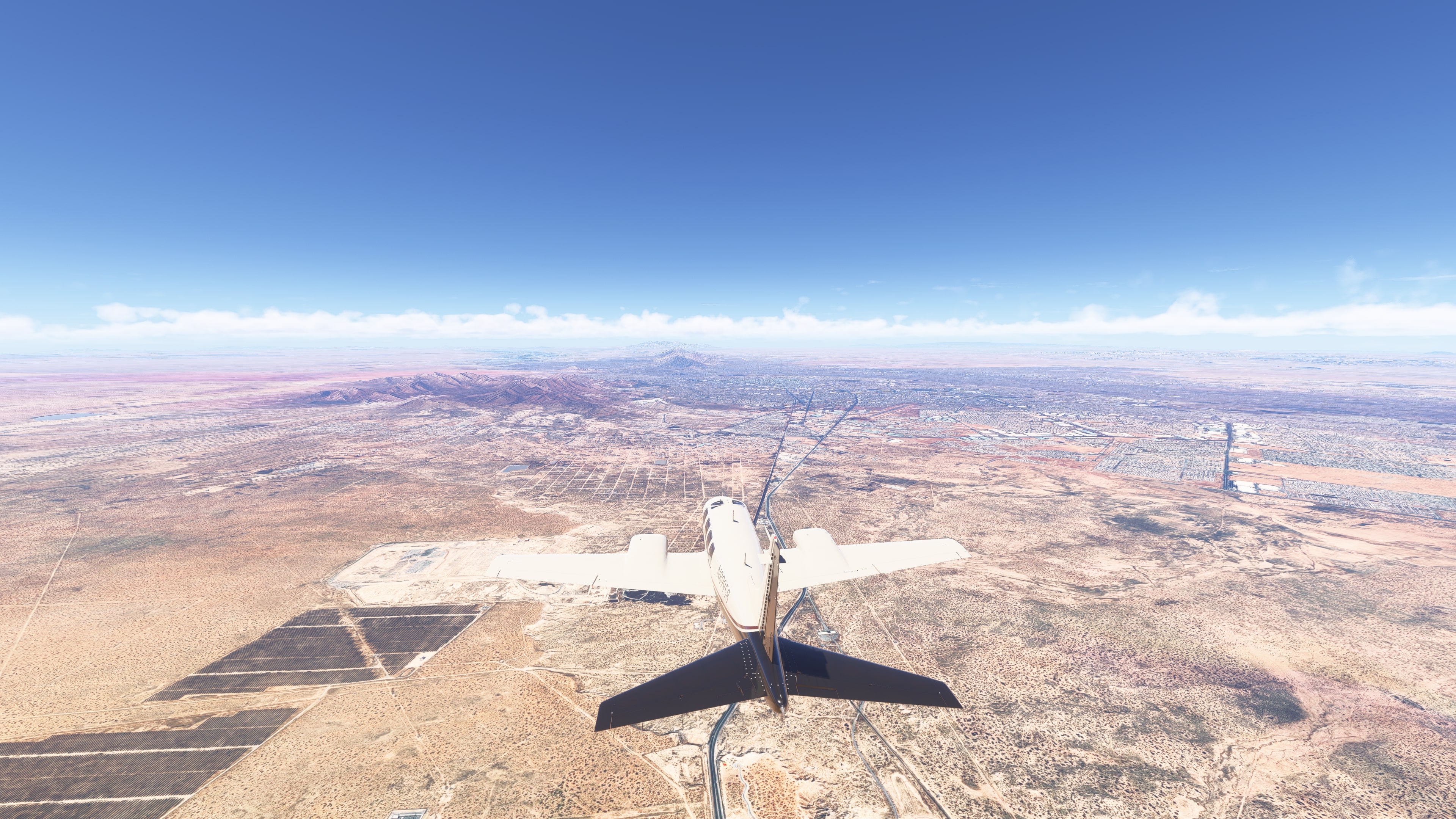
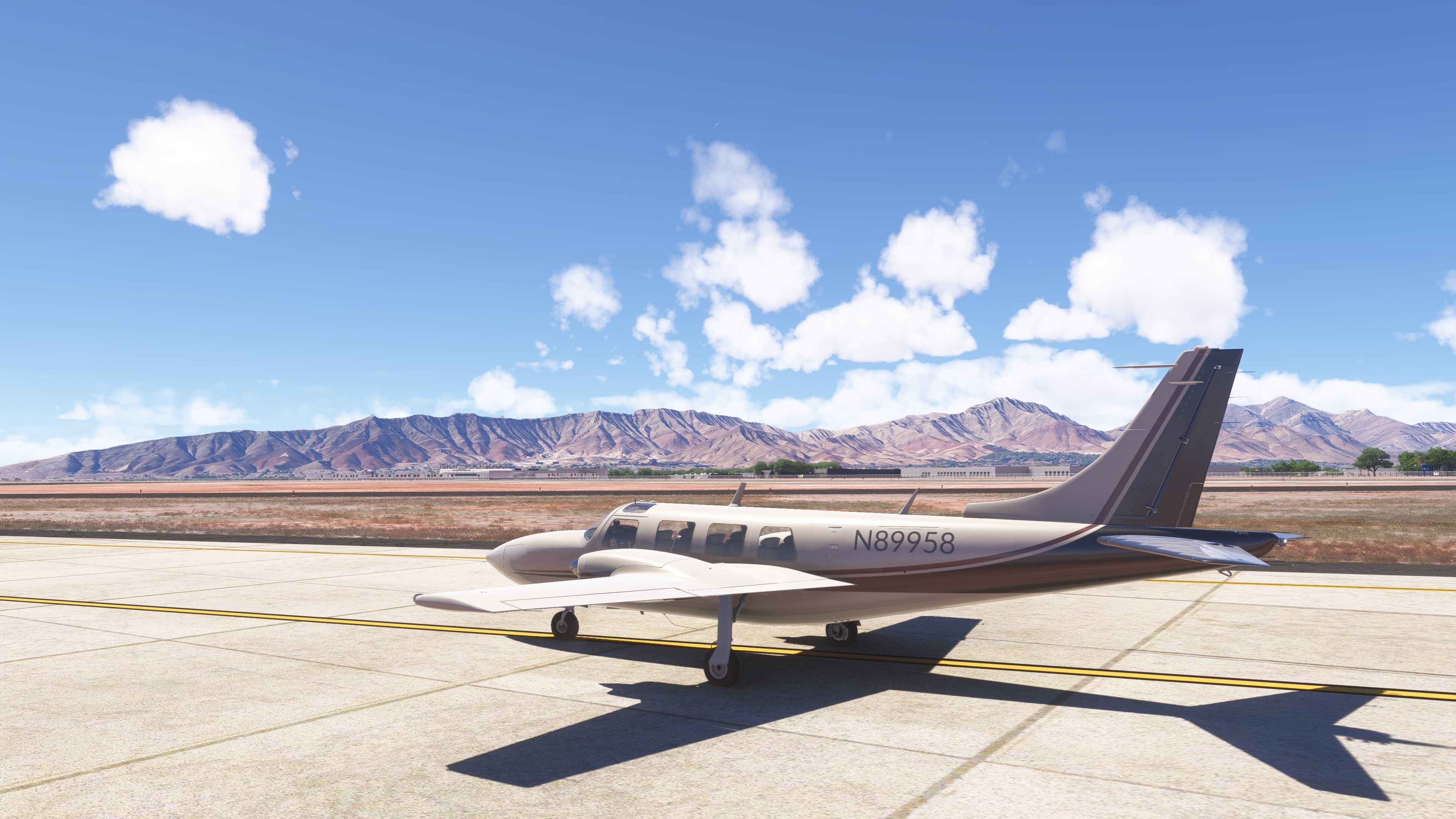
El Paso International Airport (KELP) – landing takes place between the ridges of the Franklin Mountains and the urban sprawl.
📍 Points of interest along the route
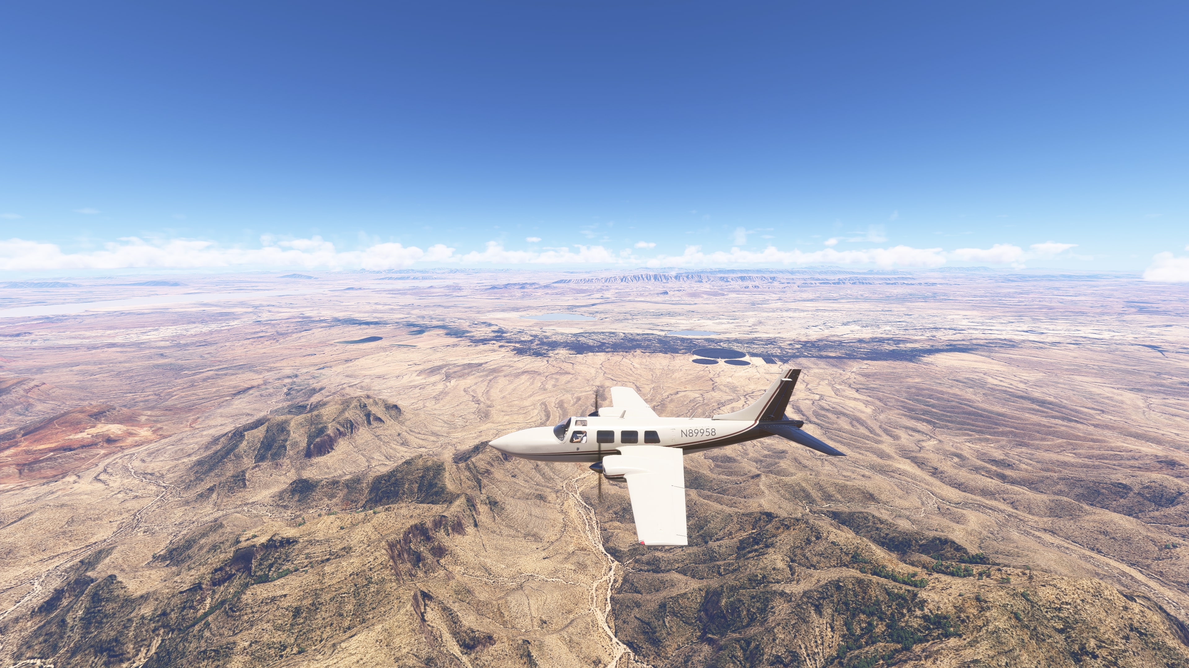
🏔️ Sierra del Nido – low but rugged mountains south of Chihuahua City.
🏜️ Northern Chihuahuan Desert – semi‑arid terrain with small settlements and ranches.
Rio Grande River – forms the international border, distinctly winding and shallow.
🏙️ Ciudad Juárez and El Paso – two cities both connected and divided by the border. A clear contrast in density and style of urban architecture.
⛰️ Franklin Mountains – a prominent ridge stretching north of El Paso.
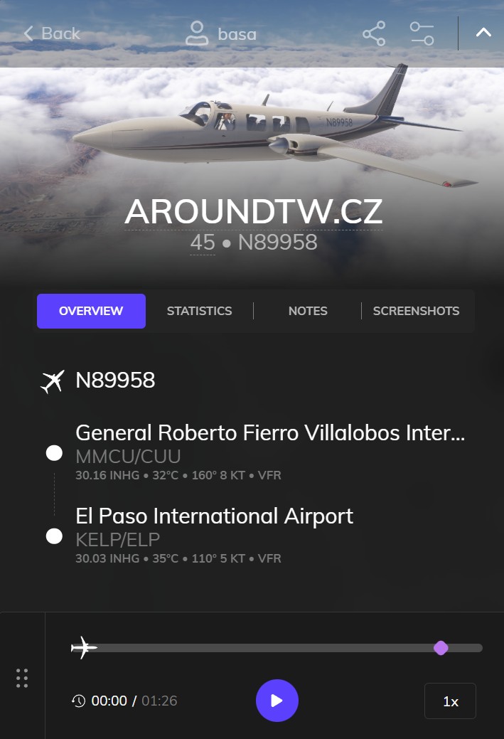

- Distance: 367 km
- Total distance: 37,220 km
- Flight time: 57 minutes
- Total flight time: 121 hours 23 minutes